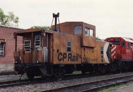
2013.6.36.1.102.16
·
Item
·
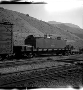
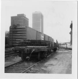
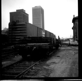
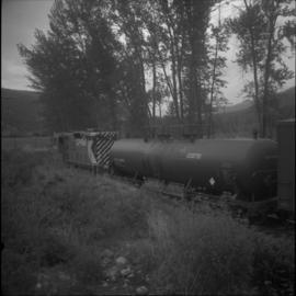
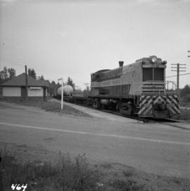
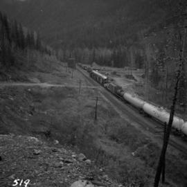
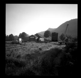
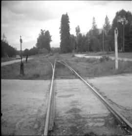
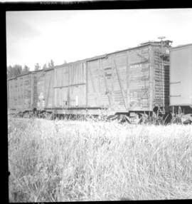
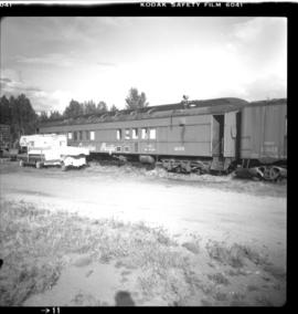
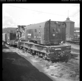
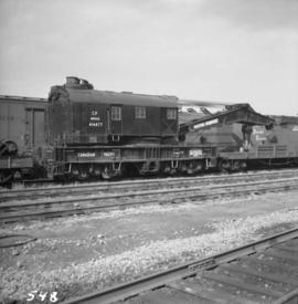
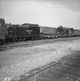
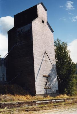
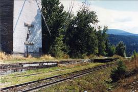
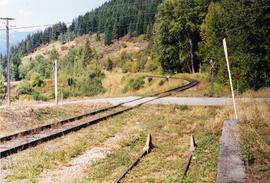
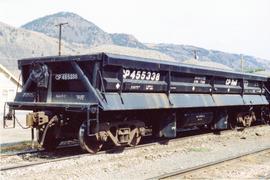
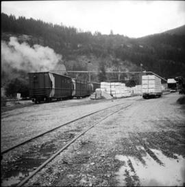
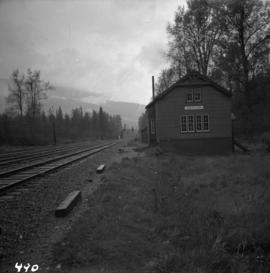
[July 1990]
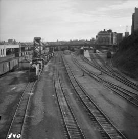
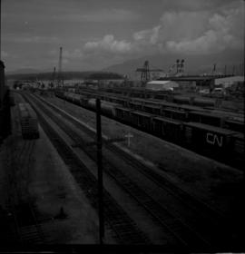
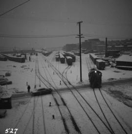
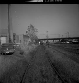
Part of David Davies Railway Collection
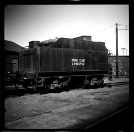
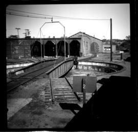
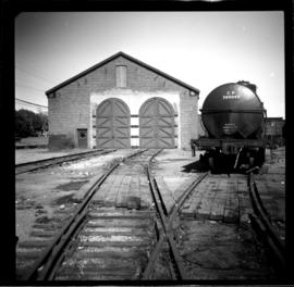
Photograph depicts way freight in use after the removal of cabooses on the main lines in January and February, 1990.