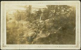
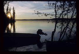
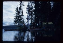
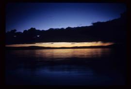
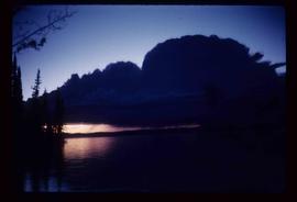
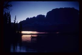
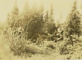
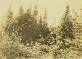
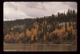
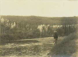
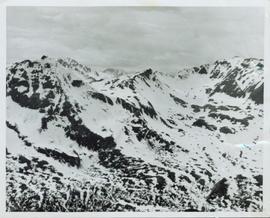
Image depicts a view of the ridge above the Fraser River which forms the Grand Canyon, B.C.
Image depicts a car on a dirt road leading through a forest.
Photograph depicts car on water's edge at bottom of incline, possibly damaged, with back doors open. Trees and bushes in foreground.
Image depicts Bennett Lake near Carcross, Y.T.
Photograph taken at terrace gardens, Government House in Victoria, B.C.
Image depicts a log house at an uncertain location; the slide is simply labelled "Cariboo."
Image depicts the Cariboo Falls.
Image depicts the Cariboo Lake, with the roof of an old log cabin visible.
Image depicts the Cariboo River.
Image depicts the old, grown-over Cariboo Road at an uncertain location.
Image depicts the Cariboo Road south of Williams Lake.
Image depicts the Cariboo Road at Hat Creek Ranch, near Highway 99 on the way to Lillooet.
Image depicts the Cariboo Road in Soda Creek, B.C.
Image depicts a small slope on Carney Hill in Prince George, B.C.
Image depicts miocene gravels on Carney Hill in Prince George, B.C.
Image depicts Carp Lake.
Image depicts two boats on the shore of Carp Lake.
Image depicts a campsite on the shore of Carp Lake.
Image depicts Carp Lake at dusk.
Image depicts a green canoe sitting in the water on the shore of Carp Lake.
Image depicts a man holding a chain of fish on the shore of Carp Lake.
Image depicts a low rain cloud over Carp Lake.
Image depicts a low rain cloud over Carp Lake, and a man on a boat on the lake.
Photograph depicts Carrol Paul (left) and George Bates (right) standing with pack horses loaded with bull moose meat. In the background a burnt forest is visible.
Photograph depicts Carrol Paul (left) and George Bates (right) holding rifles and standing beside two felled bull moose. In the background a sparse forest is visible.
Photograph depicts Carrol Paul (right) and Harry Snyder (left) sitting on the ground during a tea break. In the background is a forested area filled with coniferous trees.
Photograph depicts Carrol Paul fishing along the banks of a river. In the background is a forested shoreline.
Photograph depicts Carrol Paul standing to the left beside a felled bull moose while George Bates sits on top of a felled bull moose.
Photograph depicts Carrol Paul standing with rifle on top of felled bull moose. In the background a sparse forest is visible.
Photograph depicts Carrol Paul (left), unidentified man (middle), and Harry Snyder (right) sitting on the ground next to a small camp fire during a tea break. To the far left an unidentified fourth man is sitting amidst the bushes around the camp fire.
Photograph depicts Carrol Paul (left), unidentified man (middle), and Harry Snyder (right) sitting on the ground next to a small camp fire during a tea break. Surrounding the camp set up are several small coniferous trees.
Image depicts a truck parked on the side of the Cassiar Highway.
Overview of a snow covered mountain tops of the Cassiar Mountains. Handwritten annotation on verso in pen reads: “Cassiar mtns.”
Photograph depicts the Cassiar townsite behind shadow in foreground. Plantsite can be seen including the mill, dry rock storage building, tailings pile, and many other buildings. Mountains in background. Handwritten annotation on recto: "<- 13 1/2" ->". (This photograph was made into a promotional poster.)
Image depicts the Catholic Church in Penny, B.C.
Image depicts Cayoosh Creek.
Image depicts Cayoosh Creek from a bridge in Cayoosh Valley.
Image depicts a bridge over Cayoosh Creek.
Image depicts a view of the scenery surrounding Cayoosh Creek.
Image depicts a view of Cayoosh Valley.
Image depicts a view of Cayoosh Valley. Cayoosh Creek is visible in the bottom left corner of the image.
Image depicts Cayoosh Valley.