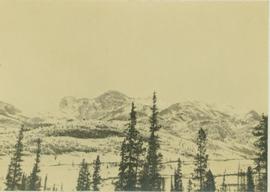
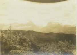
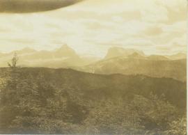
2012.13.1.86.32
·
Item
·
[1979?]
Part of J. Kent Sedgwick fonds
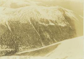
Image depicts an old, unused log cabin somewhere in Dome Creek, B.C.