2009.5.1.53
·
Item
·
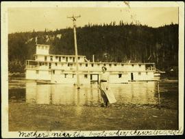
1921
Part of Taylor-Baxter Family Photograph Collection
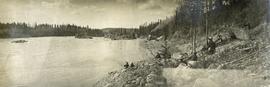
Hermina stands on shore close to water's edge at South Fort George. A power pole stands in water midground, in front of large white riverboat. Tree-covered hill on opposite shore in background. Handwritten annotation on verso of photograph: "Mother near the boats when the water was high."