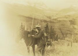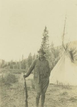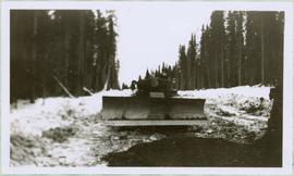
2005.3.17
·
Item
·
[ca. 1945]
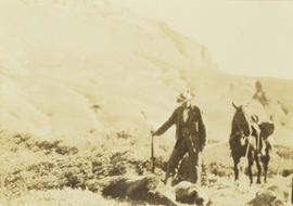
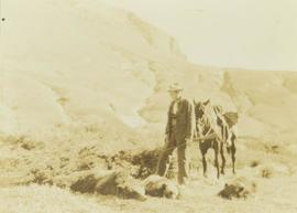
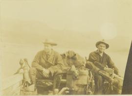
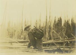
Part of John Hart Highway Photograph Collection
Front view of tractor plow clearing snow-covered road site, trees on either side. Operator of plow is visible, but not identifiable.