2009.5.1.28
·
Item
·
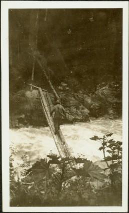
[ca. 1920]
Part of Taylor-Baxter Family Photograph Collection
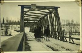
Snow and trees can bee seen on opposite shore in background. Sign posted at top of bridge reads: "NOTICE. ANY PERSON OR PERSONS DRIVING OVER BRIDGE AT A PACE FASTER THAN A WALK WILL BE [?] BY [?] DISTRICT FRONTIER".