2012.13.1.7.204
·
Item
·
Nov. 2000
Part of J. Kent Sedgwick fonds
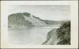
Image depicts a view of Prince George.