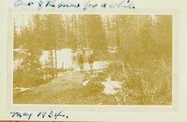
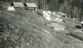
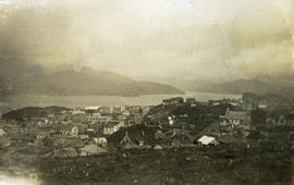
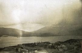
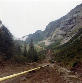
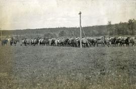
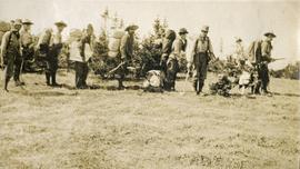
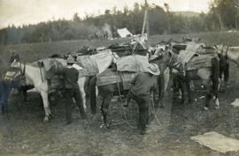
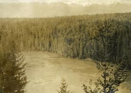
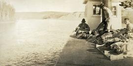
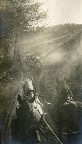
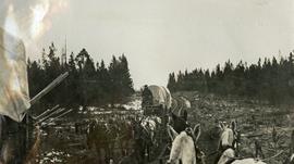
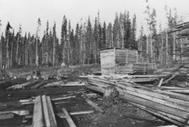
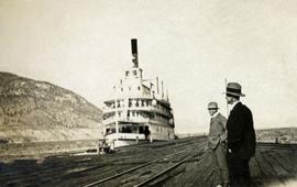
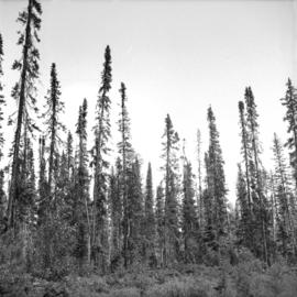
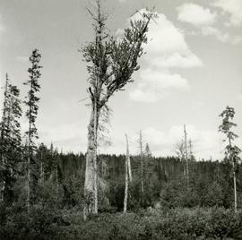
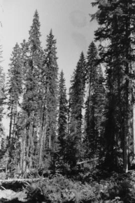
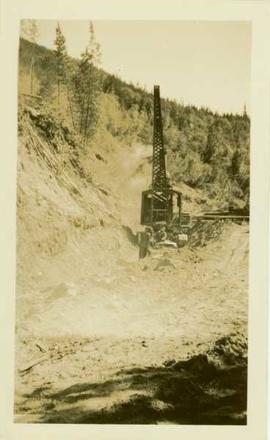
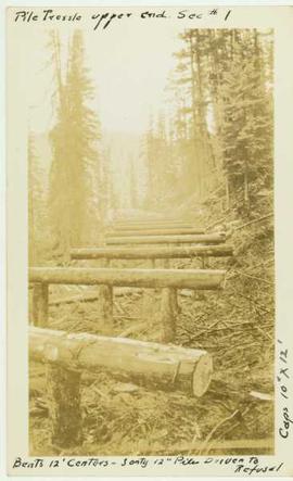
Photograph depicts thickly forested area.
Photograph depicts man (presumably A.H. Holland) with survey pole standing next to loaded pack horse.
Photograph depicts a man standing on the edge of a trail looking to the treed hills in the distance.
Photograph depicts grassy vegetation, open range land.
Photograph depicts a muddy road in the middle of open range land with low treed hills in the distance.
Photograph depicts a large corral surrounded by open range with low hills in the distance.
Photograph depicts open range land, a river and sparsely treed hills in the distance.
Photograph depicts a double exposed photograph, a buckboard and open range land with horses and low hills in the distance.
Photograph depicts open range land with sparsely forested pine in the background.
Photograph depicts a log "snake" fence surrounded by open range land and low hills.
Photograph depicts open range land with forest in the background.
Photograph depicts open range land, stumps in the foreground and some small buildings with a river behind in the distance.
Valley and mountain range visible in background. Handwritten annotation on recto of photograph: "Cassiar June 1970 / Looking South to 6200 Switch-back -".
Photograph depicts a two horse driven wagon being pulled off a snowy bank onto a gravel road amidst a forested landscape.
Photograph depicts out buildings and Holland camp at Shawls near head of Sutherland creek "Hill Top" July.
Photograph depicts exposed asbestos fibre in talus below outcrop. Handwritten annotation on verso of photograph: "Sept 1954."
Photograph depicts a pick hammer hanging from outcrop. Annotations on note glued to recto of photograph: "ASBESTOS"; "Outcrop of fibre bearing serpentine about centre of deposit and vertically over 300 adit on western slope." Areas of image have been labeled "A" and "B". Photo caption under printed copy of image in 1952 Annual Report: "A - indicates asbestos talus. B - indicates asbestos veinlets."
Caption describing photograph: "Outline of Black Spruce showing dense crown form, high occurrence of multiple tops, long columnar crown with drooping branch form. Trees range between 55-70' and 10-14" DBH. Imperfectly drained clay - E.S. site. Note W Spruce vol removed by logging. Main Access Road, F.E.S. Aleza Lake."
Photograph depicts a view looking down on the buildings of the city of Prince Rupert BC and beyond to the harbor and mountains in the distance.
Caption describing photograph: "Overmature Cottonwood growing in alluvial deposit, Bowron River. Coarse silts with fluctuating water table. Low volume of poor quality spruce removed--due to open grown limby form - presently occupied by willow, alder HB cranberry, birch, spirea, water hemlock."
Photograph depicts pipeline construction for the Pacific Northern Gas pipeline from Summit Lake to Kitimat.
Photograph depicts a construction site for the Pacific Northern Gas pipeline from Summit Lake to Kitimat.
Photograph depicts twelve or more horses loaded with packs. Three or more men attending. There is a telegraph pole in the midground, treed low hills in the background. The horses are standing in a field.
Photograph depicts packed horses walking on the log jam. [55th parallel]
Photograph depicts eight men standing in a line, loaded with heavy backpacks. There is alpine scrub vegetation in the background.
Photograph depicts a group of horses in process of being loaded with packs. Four or more men attend. There is a canvas tent, open fire and more people in the background.
Item is a photograph of a copy print, resulting in a low quality photographic reproduction. Reproduced as a print, slide, and a negative. Location of original photograph is unknown.
Photograph depicts a bird's eye view of a large river, forest and mountains in the background. On the river's edge there is a scow with several persons standing on it.
Item is a copyprint reproduced from the British Columbia Forest Service photographic records held at BC Archives.
Photograph depicts three or more passengers with sleeping/bed rolls on the deck of the S.S. Nechako sternwheeler. There is a river, riverbanks and low hills in the background.
Photograph depicts view from atop a stage coach, a team of horses pulling a stage coach approaching.
Photograph depicts two freighting stages passing. View is from atop one of the stages.
Image depicts a dam, possibly on the Peace River.
Image depicts a dam on what is possibly the Peace River.
Image depicts the W.A.C. Bennett Dam on the Peace River in Hudson's Hope, B.C.
Photograph depicts the lumber yard at Peden Hill sawmill, likely after the fire that burnt down the first mill at that location.
Photograph depicts two men standing on a wharf. A steamboat is docked, there are rails on the wharf and mountains in the distance.
Item is a photograph of a copy print that has been reproduced as a slide, resulting in low photographic quality. Location of original photograph unknown.
Photograph depicts a woman standing on a step outside a building this woman is tending to a toddler. The building is constructed of chinked logs.
Photograph depicts three(?) men standing in front of a pile driver at work along a dirt path.
Photograph depicts a two men standing on piles of whale bones at a whaling station. Annotation on verso of photograph states: "Pile of whale bones, Whaling station, Vancouver Is."
Photograph depicts a wooden pile trestle that leads through a wooded landscape. Annotation on recto of photograph reads: "Pile tressle upper end. Sec.#1. Bents 12" centers - 3 only 12" piled driven to refusal; caps 10" x 12" "
Photograph depicts a landscape perspective of Germansen Placers including the pipeline.
Photograph depicts a portion of the pit in foreground at the Cassiar mine. Crushing plant visible in centre below base of West peak. Footwall road in midground, mine valley in background. Building near trucks at top of pit was called the "shifter shack," where crews were relieved or dropped off for work.