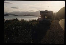
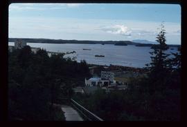
Image depicts a vehicled parked on the side of the road, with a view of the coast of Haida Gwaii in the background.
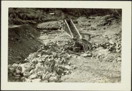
Photograph depicts a large structure in center of mining area in riverbed, equipment and supplies scattered throughout. Buildings and forest in background. Handwritten annotation on verso of photograph: "Spruce Creek, Lower Shovel Workings 6/25/39.", on recto: "Atlin".
Photograph depicts shovel loading Wabco haul truck on right. A second haul truck and an unidentified vehicle can be seen on far left. Handwritten annotation on recto of photograph: "Cassiar BC / June 1970 / 1400 on 6200 level / by T Kiefer".
Photograph depicts cable-operated shovel loading Kenworth haul truck on road in mine area at high elevation. Pickup truck in background, four unidentified men are gathered around second Kenworth truck in foreground. Valley and mountain range in distance.
Photograph depicts cable-operated shovel loading two Kenworth haul trucks on road in mine area at high elevation. Three unidentified men are gathered around truck in foreground. Valley and mountain range in distance.
Photograph depicts shovel loading Kenworth haul truck in mine. Unknown man stands on left, mountain range in background.
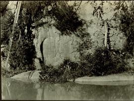
Petroglyphs featuring coppers painting onto a rock face next to a lake.
Handwritten annotation in pencil on verso reads: “As seen from the R.R. track. By Harlan I. Smith. 4 poles E of 92 mile or about 1 ½ meter E. of Tyce, B.C., Red Pictograph, Note: head above and to the right at the left of log top in shadow of cedar.” Stamped annotation on verso reads: “Department of Mines Geological Survey Photographic Division, January 21 1926” – in pen above this stamped date is written “7-10-1925”.
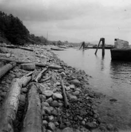
Photograph depicts a the shoreline of Vancouver Harbour, looking east from the property line of the Burrard Grain Elevator, 375 Low Level Rd, North Vancouver.
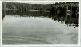
View of ripples in lake. Forest on opposite shore is reflected in water. It is believed this photograph was taken at Summit Lake, B.C.
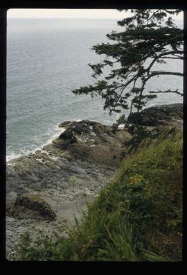
Image depicts a downward view of a small section of the shore of Haida Gwaii.
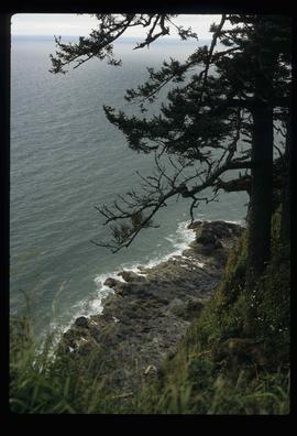
Image depicts a downward view of a small section of the shore of Haida Gwaii.
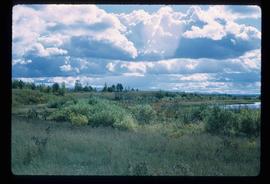
Image depicts the shore line and surrounding land of a lake or river at an airport, possibly in Prince George, B.C.
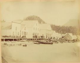
Shops stand along riverside boardwalk. Storefront sign for R. Cunningham & Sons visible. Many people stand and sit on boardwalk, and canoes and small boats float in water in foreground.
Handwritten photo captions beside image read: "R. Cunningham & Sons - Probably Port Essington", "NW coast canoe".
Image depicts several ships on the water in Prince Rupert, B.C.
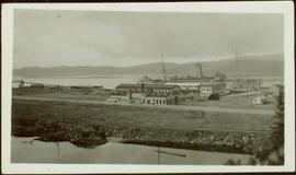
Photograph depicts a large ship behind dock buildings. Railroad crosses foreground, hills visible on shore in background.
Handwritten annotation on verso reads: "Pr. Rupert Drydock".
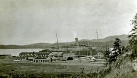
Photograph depicts a large ship behind dock buildings. Railroad crosses foreground, hills visible on shore in background.
Handwritten annotation on verso reads: "Ship in Pr. Rupert dry dock during Great War 1915?".
Photograph depicts a large ship behind dock buildings. Railroad crosses foreground, hills visible on shore in background.
Handwritten annotation on verso reads: "Drydock Prince Rupert".
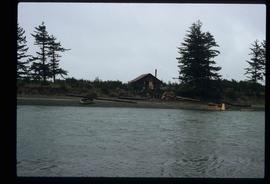
Image depicts a shed on the shore somewhere on Haida Gwaii.
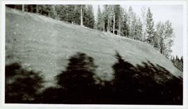
Photograph depicts tree shadows halfway up the steep slope of man-made embankment, forest in background. Tracks made my machinery are visible in dirt of the cut.
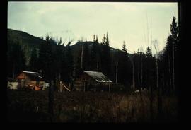
Image depicts two old shacks and a mountain in the background. Possibly located in or near Longworth, B.C.
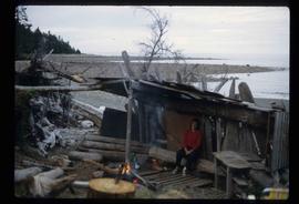
Image depicts a woman, possibly Sue Sedgwick, sitting in a shack on a beach on Haida Gwaii.
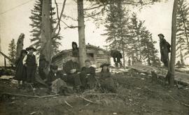
Photograph depicts six adults and three or more children sitting on the ground with a log cabin in the background. Snow scatters the ground in small patches.
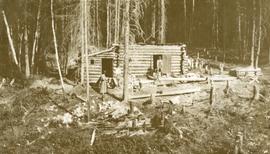
Photograph depicts a woman and two men standing outdoors near a newly constructed log cabin. Tree stumps in foreground, forest in background.
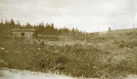
Photograph depicts a small one window cabin within a rustic clearing. There is a fenced area (possibly garden) near the cabin and forest in the background.
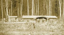
Photograph depicts a man and a woman standing in front of a log home and nearby shed. There are stumps in the foreground and tall timber in the background.
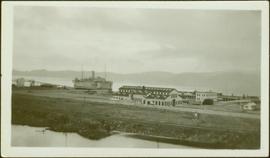
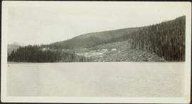
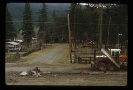
Photograph depicts a group of unidentified buildings in what appears to be an industrial area on opposite shore. River or lake in foreground, tree-covered hills in background.
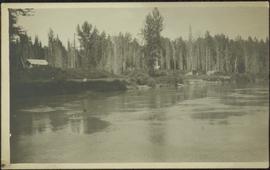
Photograph depicts the rooftops of four wood buildings behind bushes on opposite shore. Forest trees in background. These buildings are speculated to be a Bourchier forestry camp.
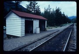
Image depicts the train station in Seton Portage, B.C.
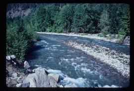
Image depicts a small river somewhere in or near Seton Portage, B.C.
Image depicts a river somewhere in or near Seton Portage, B.C.
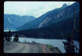
Image depicts a view of the area surrounding Seton Portage, B.C. Seton and Anderson Lake are both visible, with what is possibly either Seton Portage or Nosebag mountain also present.
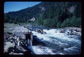
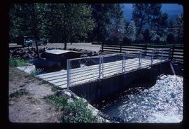
Image depicts a type of gate system for the river water, possibly controlling irrigation, located somewhere in Seton Portage, B.C.
Image depicts numerous houses and a tractor in Seton Portage, B.C.
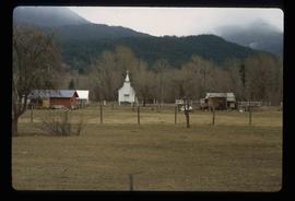
Image depicts a church and several houses in Seton Portage, B.C.
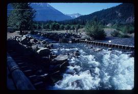
Image depicts a river somewhere in Seton Portage, B.C.
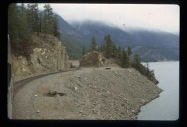
Image depicts the side of a train and the tracks it is on, as well as a small section of what is either Seton or Anderson Lake near Seton Portage, B.C.
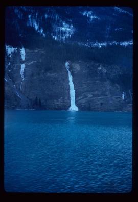
Image depicts a frozen water fall located at a lake near Seton Portage; it is likely either Anderson or Seton Lake.
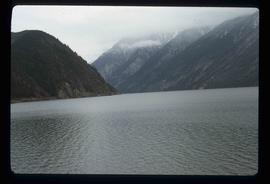
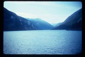
Image depicts what is either Seton or Anderson Lake near Seton Portage, B.C.
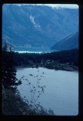
Image depicts a lake near Seton Portage; it is likely either Anderson or Seton Lake.
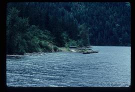
Image depicts a small shack on the shore of a lake near Seton Portage; it is likely either Anderson or Seton Lake.
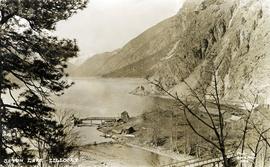
Photograph depicts the steam-operated sawmill at Seton Lake and a fish weir at the mouth of the creek. The railway grade alongside the lake, constructed circa 1914-1915, is visible in the background. The Seton Lake fish hatchery, which built and used the fish weir, ceased operations in 1915, dating this photograph sometime around 1914 or 1915.
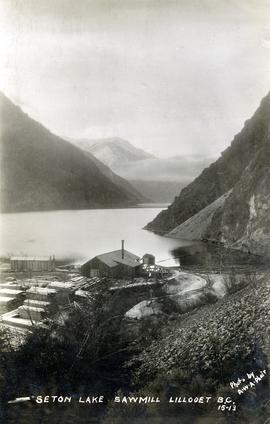
Photograph depicts the steam-operated Durban & Sons sawmill at the east end of Seton Lake. This photograph was taken before the PGE railway grade was built alongside the lake circa 1914-1915.
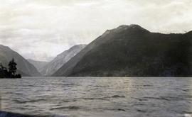
Photograph depicts a view of Seton Lake taken at Retasket, looking towards Lillooet. Retasket was a whistle stop siding on the Pacific Great Eastern Railway line.
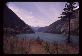
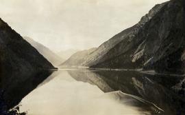
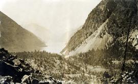
Image depicts a view of Seton Lake, located near Lillooet, B.C.
Photograph depicts the east end of Seton Lake near Lillooet.
Photograph depicts a view of the east end of Seton Lake. The Seton Lake sawmill and Seton Lake fish hatchery are visible in the foreground. The PGE railway grade alongside the lake has not yet been constructed, dating this photograph at or before 1914.
Image depicts a view of Seton Portage in the trees, located between the two lakes, Seton and Anderson.
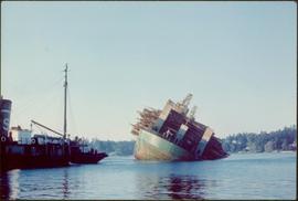
Item is a photograph of a self-dumping log barge in action.
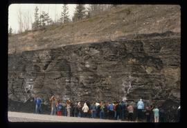
Image depicts a large group of people examining the sediment layers in a rock face.
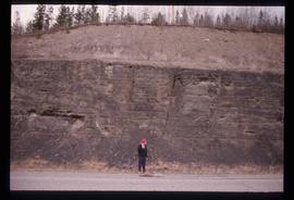
Image depicts an unidentified individual standing in front of a rock face with visible sediment layers. Located somewhere in the Peace River Region, possibly near Hudson's Hope.
