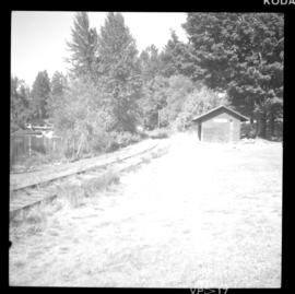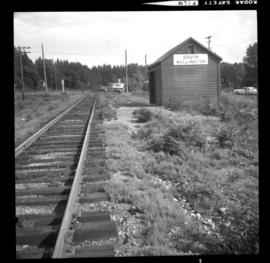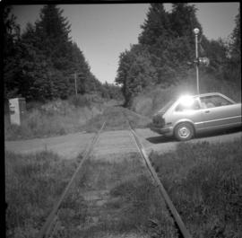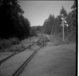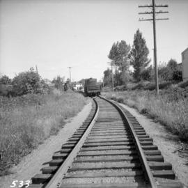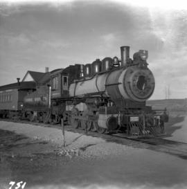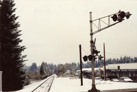
2013.6.36.1.140.12
·
Item
·
Nov. 1991
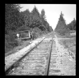
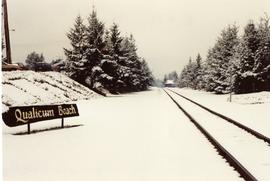
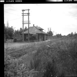
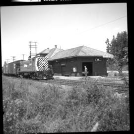
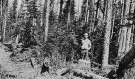
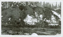
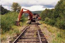
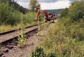
Part of David Davies Railway Collection
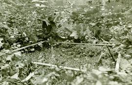
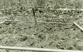
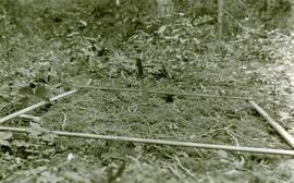
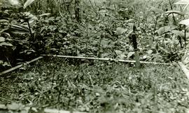
Photograph depicts Esquimalt & Nanaimo Railway track in Qualicum Beach.