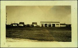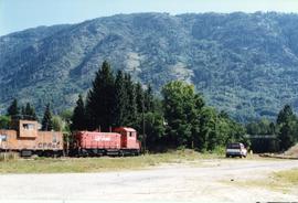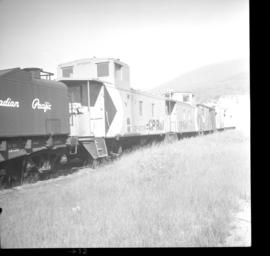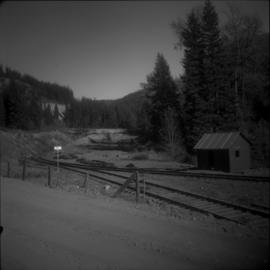
2013.6.36.1.020.13
·
Item
·
15 Oct. 1972
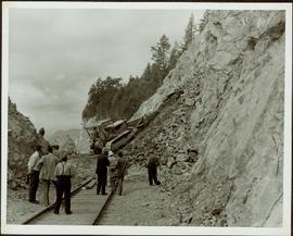
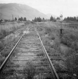
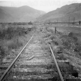
Part of David Davies Railway Collection
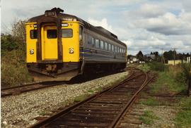
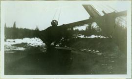
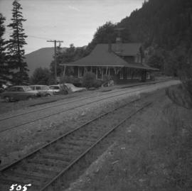
Photograph depicts Brodie Junction on the CPR Spences Bridge to Princeton line, located at mile 65.2 from Spences Bridge. The former northbound connector of the Coquihalla line (Hope to Brodie) is in the right foreground but it's not a dead-end spur of 200 yards in length. The mainline makes an 180 degree loop at this point. The tracks in the left rear of the photo lead to Merritt. The elevation is 3025 ft.