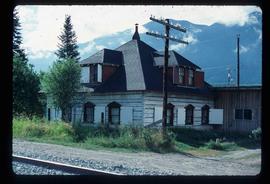
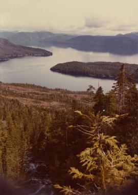
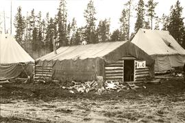
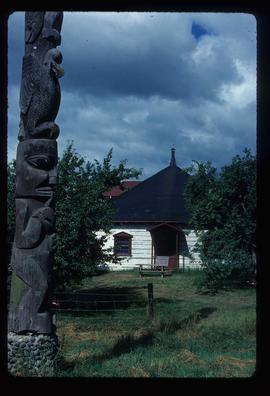
Image depicts an old Hudson Bay Company house, with a totem pole in the foreground, in Kitwanga, B.C.
Image depicts an old Hudson Bay Company house in Kitwanga, B.C.
Image depicts a totem pole in Kitwanga, B.C.
Image depicts a row of totem poles in Kitwanga, B.C.
Photograph depicts a small boat with a man standing on the deck. Handwritten annotation below photograph reads, "Kitwanga Cannery tender 1926".
Photograph depicts a cannery constructed on piers at water's edge, water in the foreground and treed mountains in the background. Handwritten annotation below photograph reads, "Klem Tou Cannery".
Photograph depicts a view from the Klemtu Lake outlet toward the sea with a cleared site for the proposed powerhouse.
This image is part of the outbound sequence of aerial images obtained on the helicopter flight to the Klutlan Glacier study site. The sequence starts from the base camp at the White River crossing on the Alaska Highway and heads south, to a point just upvalley of the debris-covered terminus (approx. 10-15 km from Alaska border), and turning back north to the landing spot on the Generc River floodplain close to the study site (see Fig. 1 in paper).
Photograph depicts a three military tent buildings, possibly somewhere between Bella Coola and Anahim Lake during the WWII Polar Bear training exercise. One of the buildings has a "K of C" (Knights of Columbus) sign on it.