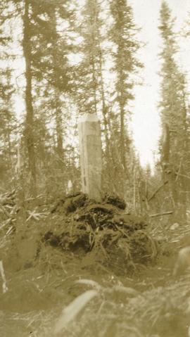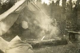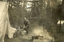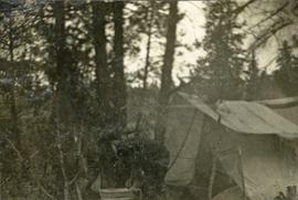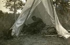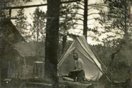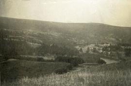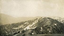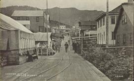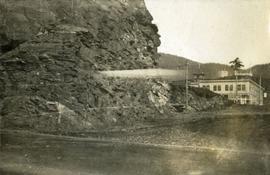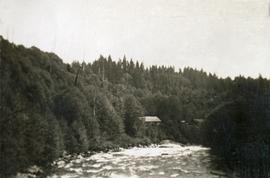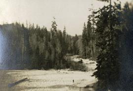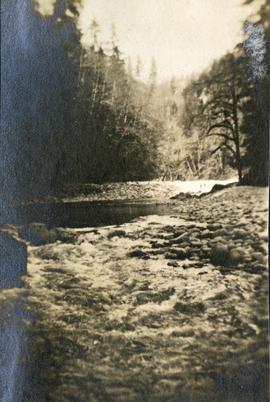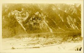
2014.10.1.402
·
Item
·
1920
Part of Arthur Holland Land Surveying Collection
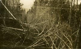
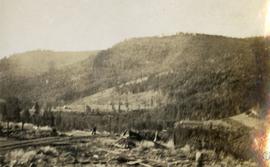
Photograph depicts a view of a forested valley, a human figure stands on a path in the midground.