Showing 903 results
Archival description
Remove filter:
Item
Remove filter:
Science and Technology
Remove filter:
Graphic material
Remove filter:
With digital objects

Norman Range (2)
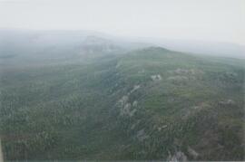
Norman Range (1)
New tephra at Site Y04-18 at Lost Chicken Mine (8)

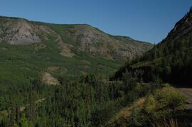
Near Camp 3

Near Camp 3

Near Camp 3

Near Camp 3
Near Camp 3

Near Camp 1, facing west down the Yukon River

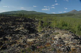
Mouth of Black Creek

Mosquito Creek Gold Mining

Mosquito Creek Gold Mining

Model for New Mill Displayed Outdoors

Model for New Mill Displayed in Room

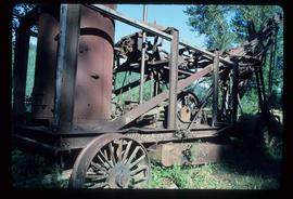
Mine Site Equipment

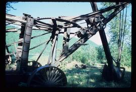
Mine & Ore Gravity Chute

Middle Pleistocene basalt cliffs, facing downstream between Camp 1 and Camp 2

Middle Pleistocene basalt cliffs, facing downstream between Camp 1 and Camp 2

Middle Pleistocene basalt cliffs west of Camp 2

Middle Pleistocene basalt cliffs west of Camp 2
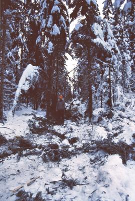
Michael Jull on skid road by advanced regeneration at Summit Lake

Michael Jull in area of moderate volume removal, Summit Lake

Michael Jull in area of moderate volume removal, Summit Lake

Michael Jull identifying blowdown due to tomentosus butt rot, Summit Lake

Michael Jull identifying basal scarring on Douglas fir, Summit Lake
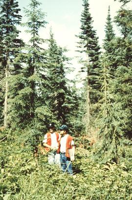
Michael Jull and unknown man, Summit Lake
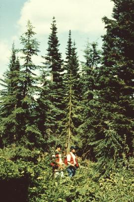
Michael Jull and unknown man in light residual basal area, Summit Lake
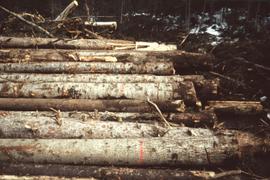
Marked-to-cut trees in log pile, Summit Lake Selection Trial

Marked-to-cut trees in log pile, Summit Lake Selection Trial
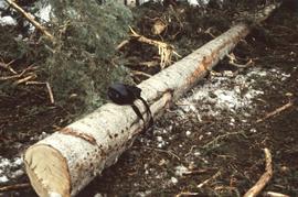
Marked-to-cut tree, Summit Lake Selection Trial
Mackenzie Valley - Franklin Mountains (7)
Mackenzie Valley - Franklin Mountains (6)
Mackenzie Valley - Franklin Mountains (5)
Mackenzie Valley - Franklin Mountains (4)
Mackenzie Valley - Franklin Mountains (3)
Mackenzie Valley - Franklin Mountains (2)
Mackenzie Valley - Franklin Mountains (1)
Mackenzie River south of Tulita
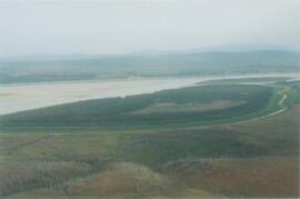
Mackenzie River
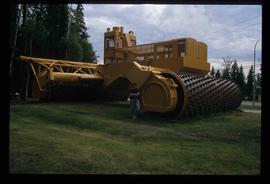
Mackenzie - World's Largest Tree Crusher
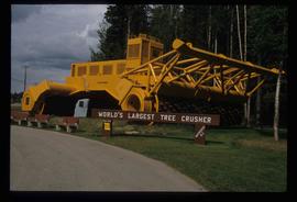
Mackenzie - World's Largest Tree Crusher

Mackenzie - People Wearing Hard Hats

Machinery
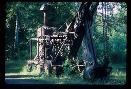
Machinery
Machinery
Machinery
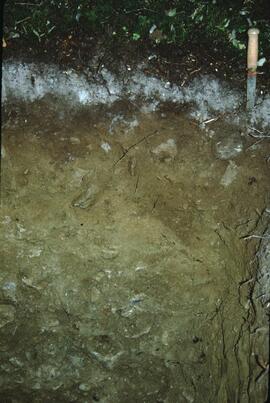
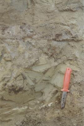
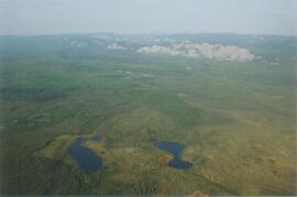
Lucille Mountain soil profile view
Lucille Mountain site view
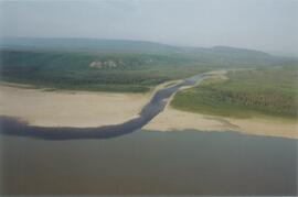
Lower Tuya River, facing upstream ~5 km above the Stikine River confluence
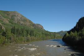
Lower Tuya River, facing upstream from bridge on Telegraph Creek Road