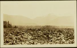
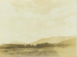
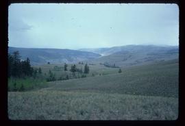
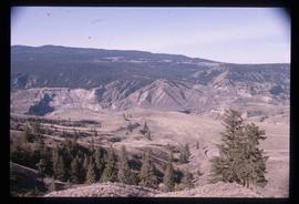
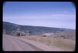
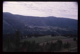
2012.13.1.54.18
·
Item
·
July 1977
Part of J. Kent Sedgwick fonds
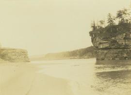
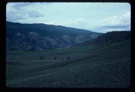
Image depicts the Lillooet River delta at the head of Lillooet Lake.