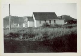
Side perspective of Knox United Church located on Brown Ave. in Giscome. Handwritten annotation in pen on verso reads: “United Church.”
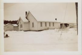
Side perspective of Knox United Church in winter. Handwritten annotation in pen on verso reads: “The United Church.”
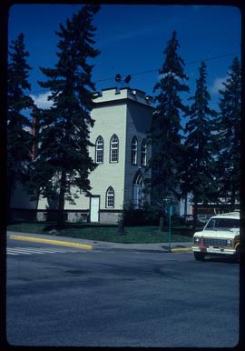
Image depicts a Knox United Church at an uncertain location, though possibly in either Hixon or Woodpecker, B.C.
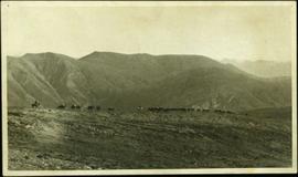
Photograph depicts Knox McCusker’s pack train traversing across an unidentified mountain ridge, ca. 1930. Caption on verso reads: “Knox McCusker’s pack train, ‘30’s”.
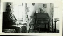
Photograph depicts Knox McCusker sitting in his living room. The caption on verso reads: “His home in Fort St. John on the banks overlooking the Peace”.
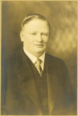
Formal portrait of Knox McCusker wearing a suit and tie and seated against a studio backdrop. Photograph believed to be taken by Pittaway – Jarvis Ltd., in Ottawa Canada, as photographer's name and location is printed into the surrounding matteboard.
Photograph provides an overview of the stone monument and inset headstone for Knox McCusker at Layton (?) Flats. Caption on verso reads: “Located at Layton Flats”.
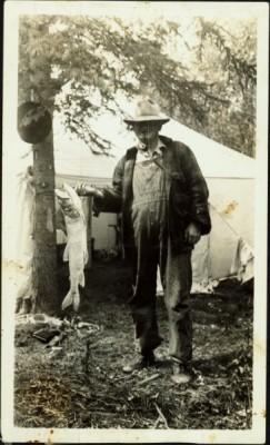
Photograph depicts Knox McCusker holding a fish outside a survey camp tent. Caption on verso reads: “Well say! Betty! A Toad River Indian”. It is believed this photo was taken at Tuchadi Lake.
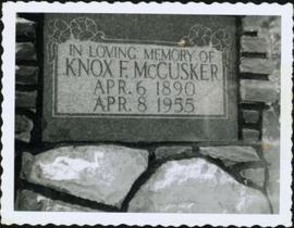
Photograph shows a close-up of the headstone for Knox McCusker at Layton (?) Flats. Caption on verso reads: “Located at Layton Flats”.
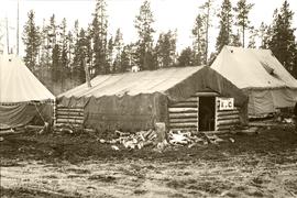
Photograph depicts a three military tent buildings, possibly somewhere between Bella Coola and Anahim Lake during the WWII Polar Bear training exercise. One of the buildings has a "K of C" (Knights of Columbus) sign on it.
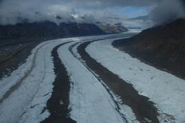
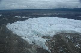
This image is part of the outbound sequence of aerial images obtained on the helicopter flight to the Klutlan Glacier study site. The sequence starts from the base camp at the White River crossing on the Alaska Highway and heads south, to a point just upvalley of the debris-covered terminus (approx. 10-15 km from Alaska border), and turning back north to the landing spot on the Generc River floodplain close to the study site (see Fig. 1 in paper).
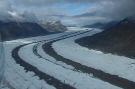
This image is part of the outbound sequence of aerial images obtained on the helicopter flight to the Klutlan Glacier study site. The sequence starts from the base camp at the White River crossing on the Alaska Highway and heads south, to a point just upvalley of the debris-covered terminus (approx. 10-15 km from Alaska border), and turning back north to the landing spot on the Generc River floodplain close to the study site (see Fig. 1 in paper).
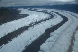
This image is part of the outbound sequence of aerial images obtained on the helicopter flight to the Klutlan Glacier study site. The sequence starts from the base camp at the White River crossing on the Alaska Highway and heads south, to a point just upvalley of the debris-covered terminus (approx. 10-15 km from Alaska border), and turning back north to the landing spot on the Generc River floodplain close to the study site (see Fig. 1 in paper).
This image is part of the outbound sequence of aerial images obtained on the helicopter flight to the Klutlan Glacier study site. The sequence starts from the base camp at the White River crossing on the Alaska Highway and heads south, to a point just upvalley of the debris-covered terminus (approx. 10-15 km from Alaska border), and turning back north to the landing spot on the Generc River floodplain close to the study site (see Fig. 1 in paper).
