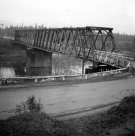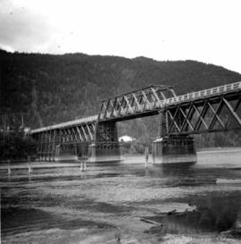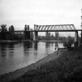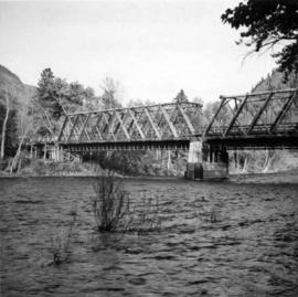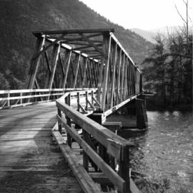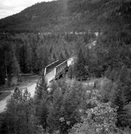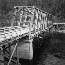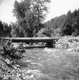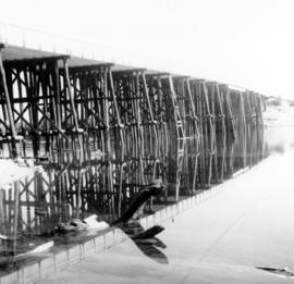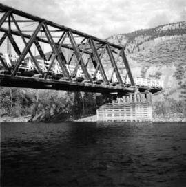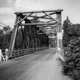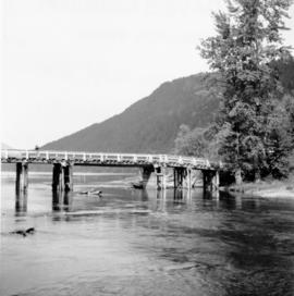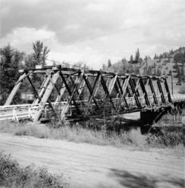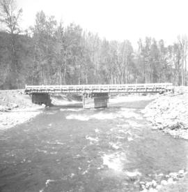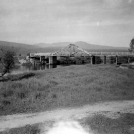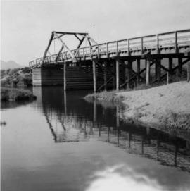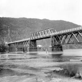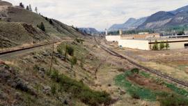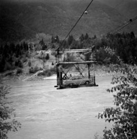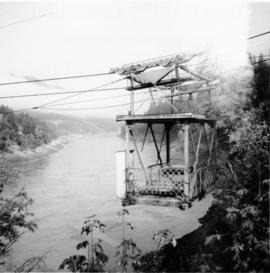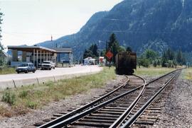
2013.6.36.1.150.03
·
Item
·
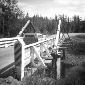
11 Aug. 1991
Part of David Davies Railway Collection
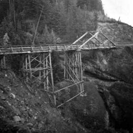
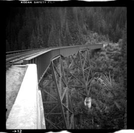
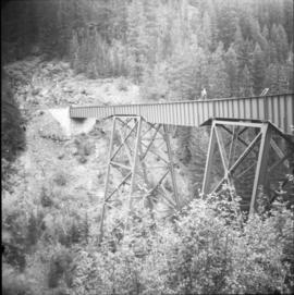
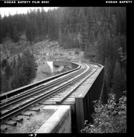
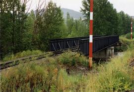
Photograph taken on the eastern outkirts of Princeton. Bridge spanned over the Tulameen River.