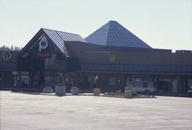
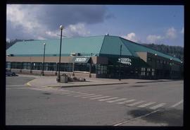
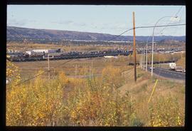
Image depicts Pine Centre Mall in Prince George, B. C. Map coordinates 53°53'53.2"N 122°46'36.4"W
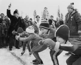
Photograph depicts Pierre Trudeau firing a starting pistol at a children's speed skating event during the 1978 Northern BC Winter Games. Iona Campagnolo, Ron Bassford and an unidentified crowd watch four children crouch at the starting line.
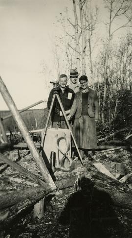
Photograph depicts (from left to right) Philip Monckton, Gordon Wyness, and Lavender Monckton at the Beaverly Geodetic Station, 7 miles west of Prince George. Surveying equipment (tripod, theodolite, and wire) are stationed at centre.
Video recording is a VHS tape of a PGTV News clip of interview with Noreen Rustad and Dr. Jago regarding the Medical Education Fund.
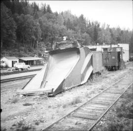
Photograph depicts a disused snow plow #6001 that was built of wood. Snow plough #6002 is found behind.
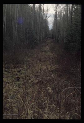
Image depicts a view of the south direction of the grade for the British Columbia Railway, which was formerly known as the Pacific Great Eastern until 1972. It is at an uncertain location, possibly near Woodpecker or Prince George.
Image depicts the Prince George Multiplex.
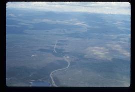
Image depicts an aerial view of the Ahbau area somewhere near Prince George, B.C.
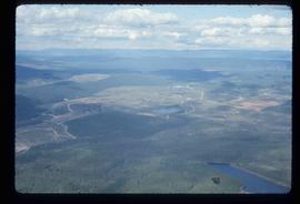
Image depicts an aerial view of areas that have been used for logging around Prince George, B.C.
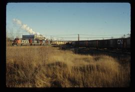
Image depicts two trains in Prince George, B.C.
Photograph depicts Peter Huse at "Words, Loves" conference.
Photograph depicts Peter Huse and Brian Fawcett at "Words, Loves" conference.
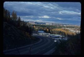
Image depicts a view of Peden Hill in Prince George, B.C.
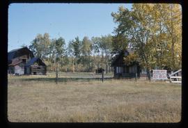
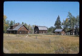
Image depicts the Pearson Homestead.
Image depicts the Pearson Homestead.
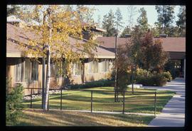
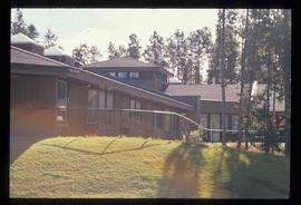
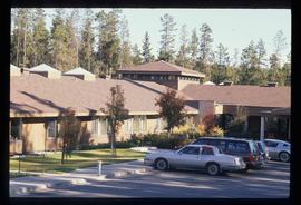
Image depicts Parkside Intermediate Care Home on Ospika Boulevard in Prince George. Map coordinates 53°55'02.6"N 122°47'41.6"W
Image depicts Parkside Intermediate Care Home on Ospika Boulevard in Prince George. Map coordinates 53°55'02.6"N 122°47'41.6"W
Image depicts Parkside Intermediate Care Home on Ospika Boulevard in Prince George. Map coordinates 53°55'02.6"N 122°47'41.6"W
Photograph depicts a parking lot and alleyway behind the Europe Hotel on 3rd Avenue.
Image depicts the Fraser River at Paddlewheel park, with a train on the other side of the river, in Prince George B.C.
Image depicts the Fraser River at Paddlewheel park, with a train on the other side of the river, in Prince George B.C.
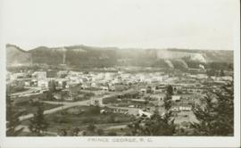
Overhead photograph of Prince George, BC ca. 1950 with hills in background. Annotation on recto reads: "Prince George, B.C."
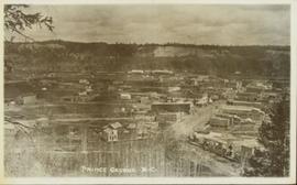
Overhead view of commercial buildings in downtown Prince George. Printed annotation on recto reads: "Prince George, B.C."
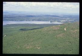
Image depicts a view over Tabor Mountain.
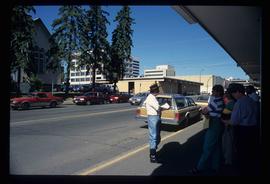
Image depicts a group of individuals on the sidewalk outside Spee-Dee Printers on Brunswick Street in Prince George, B.C.
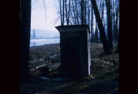
Image depicts what is likely an outhouse at Island Cache.
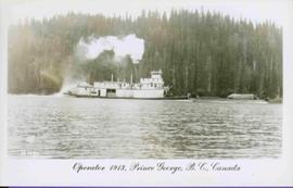
Stern wheeler in river. Printed annotation on recto reads: “Operator 1913, Prince George, B.C. Canada” Handwritten annotation in pencil on verso reads: “Operator 1913”
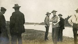
Photograph depicts several men standing on the river bank. Possibly A.H. Holland in center of photo.
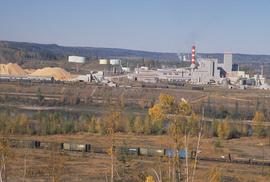
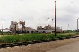
Image depicts the Northwood pulpmill in Prince George B.C.
Image depicts the Northwood pulpmill in Prince George B.C.
Image depicts the Northwood Pulpmill in Prince George, B.C. taken from above the Nechako River looking east. Map coordinates 53°56'00.0"N 122°44'29.7"W
Image depicts the Northwood pulpmill in Prince George B.C.
Photograph depicts Northwood Pulp and Timber Ltd, Prince George. Located north of the city, near the BC Rail and CNR mainline tracks. It had its own railway of about 5 miles in length and two diesel switchers.
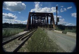
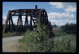
Image depicts the Northwood Bridge crossing in Prince George B.C.
Image depicts the Northwood Bridge in Prince George, B.C.
Image depicts the Northwood Bridge in Prince George, B.C.
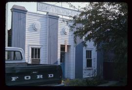
Image depicts an old building with a sign labelled "Northern Rooms" in an uncertain location somewhere in Prince George, B.C.
Photograph depicts Northern Hardware at 1386 3rd Avenue.
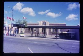
Image depicts the Canadian Forces Recruiting Centre on the north side of 3rd Ave in Prince George, B.C.
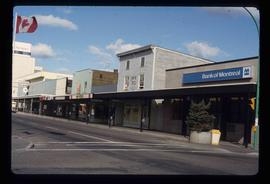
Image depicts the north side of 3rd Ave in Prince George, B.C.
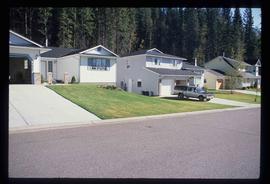
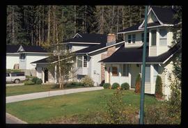
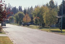
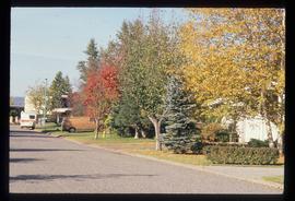
Image depicts a neighbourhood on North Meadows Road in Prince George, B.C.
Image depicts a neighbourhood on North Meadows Road in Prince George, B.C.
Photograph depicts eighteen or more canvas tents scattered on the river shore next to rough cabins and an outhouse.
Image depicts a subdivision of Prince George, B.C.
Image depicts the Nechako Subdivision in Prince George, B.C.
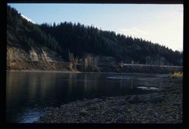
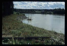
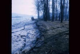
Image depicts the bank of the Nechako River at Island Cache.
Photograph depicts a view from a high hill, looking down on the Nechako river. There is forest and low rolling hills in the background.
Photograph depicts a view from a high hill looking down on the Nechako river. There is forest and low rolling hills in the background.
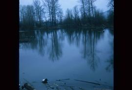
Image depicts what is possibly a small section of the Nechako River on Cottonwood Island.
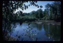
Image depicts a body of water in Island Cache. It is possibly a small section of the Nechako River.
