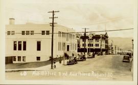
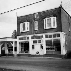
2012.13.1.77.24
·
Item
·
1980
Part of J. Kent Sedgwick fonds
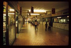
Image depicts a pulp mill in Port Edward, B.C.