2012.13.3.1.03.8
·
Item
·
Aug. 1990
Part of J. Kent Sedgwick fonds
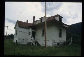
The item is a photograph that depicts Erle's Iron Works shop with a man outside welding the turrets for the Sikh temple. Annotation states, "Erle Muntz."