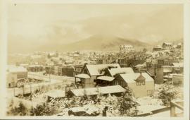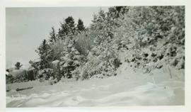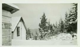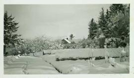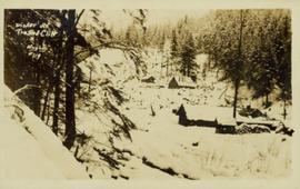
2009.10.1.53
·
Item
·
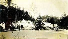
1927
Part of Fred Jeffery Photograph Collection
Photograph depicts deep snow in the foreground, fences and houses in the midground and snowy mountains in the background. Handwritten annotation below photograph reads, "Winter Dec/27 Naas Harbour, B.C.".