2012.13.3.1.15.03
·
Item
·
Aug. 2002
Part of J. Kent Sedgwick fonds
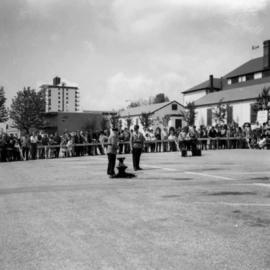
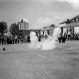
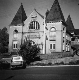
The item is a photograph of a photograph depicting Prince George's City Hall circa. 1922 including an approximately 120 word write up describing its history. The building is approximately two stories high. There is an artillery cannon next to the building. A reflection of the photographer is barely visible in the photograph.