2000.1.1.2.2.26
·
Item
·
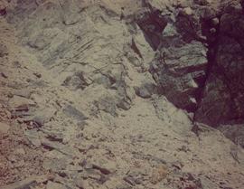
1963
Part of Cassiar Asbestos Corporation Ltd. fonds
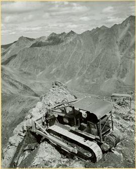
Photograph depicts different levels of crusher foundations built into mountainside. Dirt piles and unidentified machinery in foreground, power lines and mountain range in background.