Print preview Close
Showing 944 results
Archival description
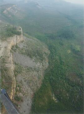
Middle Pleistocene basalt cliffs, facing downstream between Camp 1 and Camp 2

Mine & Ore Gravity Chute

Mine Site Equipment

Model for New Mill Displayed in Room
Model for New Mill Displayed Outdoors
Model for New Mill Displayed Outdoors

Model for New Mill Displayed Outdoors
Model for New Mill Displayed Outdoors
Model for New Mill Displayed Outdoors
Model of Mine
Model of Mine
Model of Mine, 1970
Model of Mine, 1970

Mosquito Creek Gold Mining

Mosquito Creek Gold Mining

Mouth of Black Creek

Near Camp 1, facing west down the Yukon River

Near Camp 3

Near Camp 3

Near Camp 3

Near Camp 3
Near Camp 3
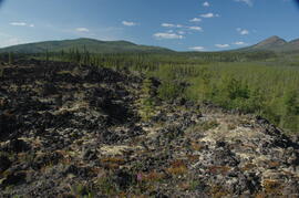
New tephra at Site Y04-18 at Lost Chicken Mine (8)
Norman Range (1)

Norman Range (2)
Norman Range (3)
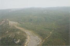
Norman Range (4)
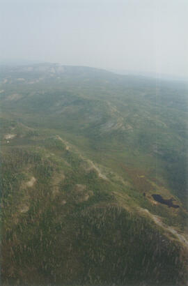
Norman Range (5)
Norman Range (6)
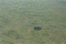
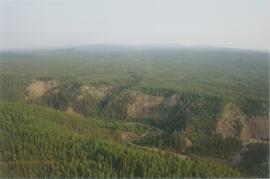
Norman Range sinkhole
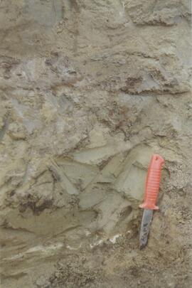
Norman Range site with loess over till (1)
Norman Range site with loess over till (2)
Norman Range site with loess over till (3)

North side of the Yukon River, mid-Pleistocene basalts west of gully

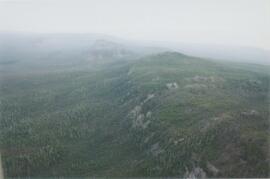
North side of Volcano Mountain

North side of Volcano Mountain

North side of Volcano Mountain

North side of Volcano Mountain

North side of Volcano Mountain

North side of Volcano Mountain

North View of Tramline from Valley

North View of Tramline From Valley

Nostoc Crust (Kluane NP, Lower Slims)
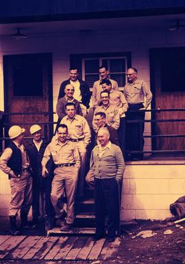
Office Staff at Main Office, 1958
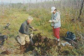
Paul Sanborn holding Owen Hughes' shovel
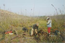
Paul Sanborn holding Owen Hughes' shovel
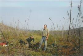
Paul Sanborn holding Owen Hughes' shovel
Paul Sanborn holding Owen Hughes' shovel

Pelly River and Yukon River confluence

Pelly River and Yukon River confluence

Plot 3 uncut control plot, Summit Lake

Plot 3, Summit Lake

Portrait of Model for New Mill
Portrait of Model for New Mill, Close View
Portrait of Model for New Mill, Close View

Post-logging view south of plot 27 at Summit Lake Selection Trial

Post-logging view south of plot 27 at Summit Lake Selection Trial