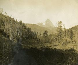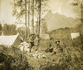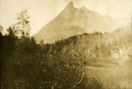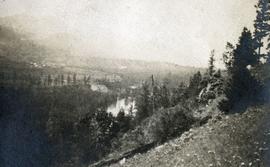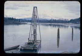
2009.10.1.19
·
Item
·
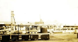
[between 1926 and 1933]
Part of Fred Jeffery Photograph Collection
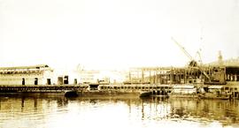
Photograph depicts a pier. Handwritten annotation below the photograph reads, "as above. taken from Howe street"