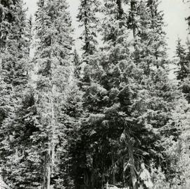
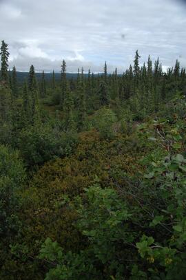
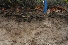
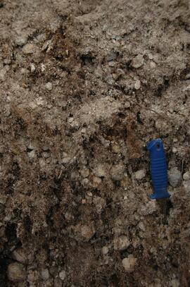
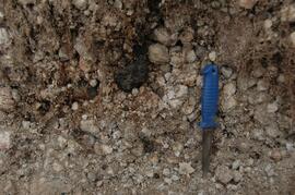
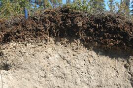
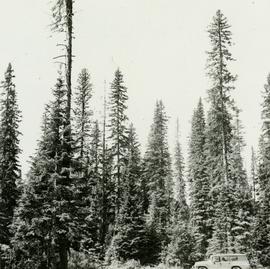
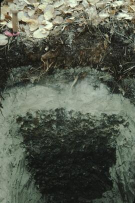
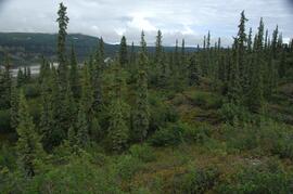
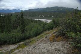
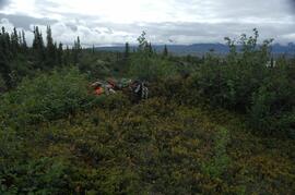
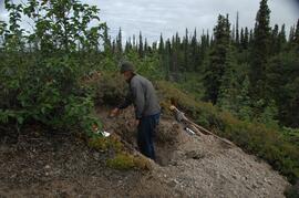
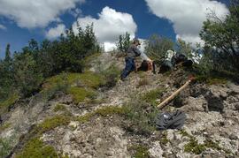
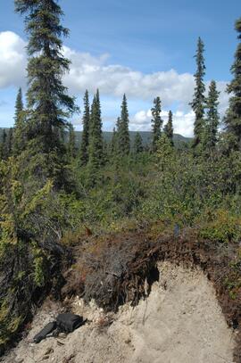
Caption describing photograph: "Junction of East Loop and Main Access Road N of Camp Creek. F.E.S. Aleza Lake. Typical uneven aged structure of overmature Spruce Balsam stands on high sites. Rubus site. Lacustrine silty clay."
Caption describing photograph: "Low quality Hemlock isolated in understory. Junction West Branch and Main Access Road, F.E.S. Aleza Lake. 8" D.B.H. 120 years., 20-25' high." Harry Coates stands in the photograph for scale.
Item is a photograph of a copy print that has been reproduced as a slide, resulting in low photographic quality. Location of original photograph unknown.
"Ken McCannel, a forester in the Surveys Division was in charge of the YMFTP for the entire province. He dropped in at Aleza Lake on an inspection trip at the same time as Malcolm Knapp. Professor Knapp of the forestry department of UBC went from camp to camp giving lectures on forestry to the YMFTP crews. They posed for this picture. Sills were being whip-sawn for foundations on the older buildings." -- from the notes of Ralph Schmidt in accompanying file
Image depicts a boat on the Nechako Reservoir at Kenny Dam.
Image depicts a boat dock on the Nechako Reservoir at Kenny Dam.
Photograph depicts a view of the Kettle River with sparse vegetation in the background and a mountain range in the background.
Photograph depicts a view of the Kettle river with mountains in the background.
Photograph depicts looking down on a canyon, steep cliffs on either side, a traffic bridge crosses the chasm. Near Cascade BC.
Photograph depicts a view of the Kettle River canyon and traffic bridge.
Photograph depicts Kettle River canyon near Cascade, BC.
Photograph depicts a lofty view of the Kettle river near Cascade, BC.
Photograph depicts Kitseucla creek, trees and a mountain peak in the distance.
Photograph depicts view of Kitseucla mountain summit with snow patches and a rocky peak.
This image is part of the outbound sequence of aerial images obtained on the helicopter flight to the Klutlan Glacier study site. The sequence starts from the base camp at the White River crossing on the Alaska Highway and heads south, to a point just upvalley of the debris-covered terminus (approx. 10-15 km from Alaska border), and turning back north to the landing spot on the Generc River floodplain close to the study site (see Fig. 1 in paper).