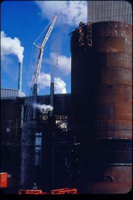
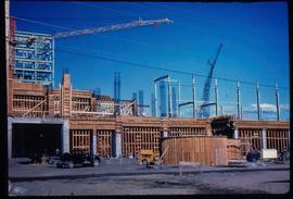
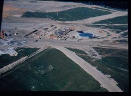
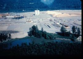
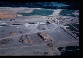
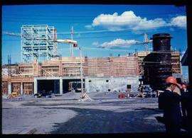
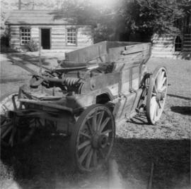
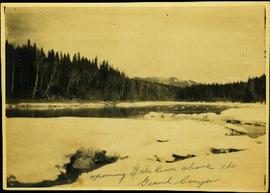
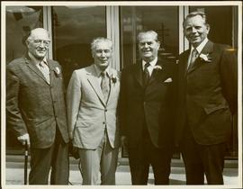
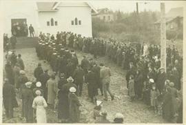
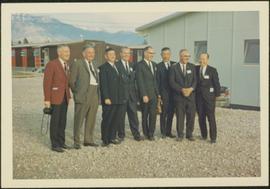
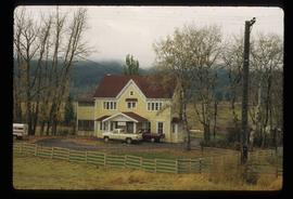
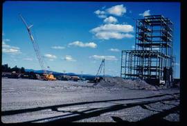
Original Construction
Image depicts the original bank building in Wells, B.C.
Image depicts an old road through the trees near Yellowhead Pass. The slide labels it as the origin of the Yellowhead highway.
Photograph depicts the Orient Line "S.S. Oronsay" leaving Vancouver Harbour.
Photograph depicts the Orient Line "Chusan" at the C.P. Pier . It is unloading cargo and taking on fuel.
Photograph depicts an ore wagon with a drop bottom device. It was drawn by horses or a steam tractor.
Image depicts water flowing through an irrigation channel in an orchard, somewhere in or near Seton Portage, B.C. There is a sign which reads: "Danger Keep out."
Image depicts water flowing through an irrigation channel in an orchard, somewhere in or near Seton Portage, B.C.
Stern wheeler in river. Printed annotation on recto reads: “Operator 1913, Prince George, B.C. Canada” Handwritten annotation in pencil on verso reads: “Operator 1913”
Photograph depicts river between opposite shore and rock landings in foreground. Mountaintops visible in background. Handwritten photo caption on verso and recto of this photograph reads: "Opening of the River above the Grand Canyon".
Item is a photograph of Mr. Williston and Premier W.A.C. Bennet with two other gentlemen at the official opening of the provincial Government Building in Williams Lake.
Clergy standing at the entryway to the newly reconstructed church as the choir walks towards them in two lines. The attendant congregation watches. The original Grace Methodist Church had been dedicated in the late 1800s and had its name changed to Grace United Church with Church Union in 1925; it was destroyed by fire, however, in 1931. Handwritten annotation on verso reads: "Opening of new church 1938."
Clergy standing at the entryway to Grace United Church speaking to a crowd gathered to witness the opening of this newly reconstructed church. The original Grace Methodist Church had been dedicated in the late 1800s and had its name changed to Grace United Church with Church Union in 1925; it was destroyed by fire, however, in 1931. Handwritten annotation on verso reads: "Opening of new church 1938. The left hand row of people with the white collars were the P.S. Choir. The right hand row was the band & Chair from Metlakatla, Alaska."
Item is a photograph of officials attending the June opening of the Crestwood Forest Industries pulp mill in Cranbrook, until that time the only pulp mill built without benefit of a Pulp Harvesting Area (PHA) license to assure timber supply. Mr. Williston is on the left.
Photograph depicts a muddy road in the middle of open range land with low treed hills in the distance.
Photograph depicts a large corral surrounded by open range with low hills in the distance.
Photograph depicts open range land, a river and sparsely treed hills in the distance.
Photograph depicts a double exposed photograph, a buckboard and open range land with horses and low hills in the distance.
Photograph depicts open range land with sparsely forested pine in the background.
Photograph depicts a log "snake" fence surrounded by open range land and low hills.
Photograph depicts open range land with forest in the background.
Photograph depicts open range land, stumps in the foreground and some small buildings with a river behind in the distance.
Photograph depicts grassy vegetation, open range land.
Image depicts an open mining pit at an uncertain location; it is possibly Gibraltar.
Image depicts a field in Giscome, B.C. On the right side of the image, in the background, is a grey strip that appears to be a mine, possibly the quarry at Eaglet Lake in Giscome, B.C. Map coordinates 54°03'52.9"N 122°22'10.0"W
Image depicts an open field and Giscome, B.C. in the background. Map coordinates 54°03'52.9"N 122°22'10.0"W
Image depicts an open field and numerous buildings, including a church in Giscome, B.C. Map coordinates 54°04'03.2"N 122°22'04.6"W
Handwritten caption beside this photo reads: "1500wt 4x4". Photograph depicts small open cab truck with tire chains. Forest and unidentified buildings in background. A second vehicle is semi-visible on far left, as well as a pile of logs on far right.
Photograph depicts a group of men gathered around hole in ice. Two men in centre handle a net full of fish. Village can be seen on shore in background.
Handwritten annotation on verso reads: "Oolichan Fishing Nass River".
Photograph depicts groups of men gathered on ice. One man sits on ice sled in foreground. Village can be seen on shore in background.
Handwritten annotation on verso reads: "Chapt. II. No. 1. Fishing Bay. Olachan fishery on the ice."
Photograph depicts two men standing beside beds of fish laid out to dry. More oolichan fish hang on tall structures in background.
Handwritten annotation on verso reads: "'Food for winter' Oolichans drying at Fishing Bay, Nass River".
Image depicts the Onward Ranch near Williams Lake, B.C.
Photograph depicts Onion Lake as seen through a barren tree line. In the background a mountain range surrounds the shores of the lake.
Typed caption glued to album page directly below photograph reads: "76. One of the Five Acre Garden Tracts." Photograph depicts a wooded lot. Photographer: Dominion Stock & Bond Corporation.
Typed caption glued to album page directly below photograph reads: "63. One of the 1st residences built at Fort Fraser." Photographer: Dominion Stock & Bond Corporation.
Photograph depicts a man standing on the edge of a trail looking to the treed hills in the distance.
Typed caption glued to album page directly below photograph reads: "17. On the way to Fort Fraser by auto." Photograph depicts a group of men standing, and one on horseback, around an automobile packed with luggage of all shapes. Photographer: Dominion Stock & Bond Corporation.
Typed caption glued to album page directly below photograph reads: "35. On the way to Fort Fraser." Photograph depicts six men in overcoats and hats sitting in an automobile parked at curbside. Photographer: Dominion Stock & Bond Corporation
Photograph depicts man (presumably A.H. Holland) with survey pole standing next to loaded pack horse.
Photograph depicts a ranch home and barn along the road from Lillooet to Clinton. The location is believed to be a homestead 2 miles south of Pavilion Station. Two cars are parked beside the property, with a number of men nearby.
Image depicts a lake somewhere along what is possibly the Atlin Road to Atlin, B.C.