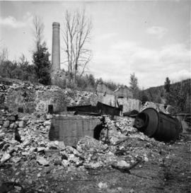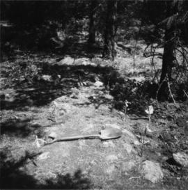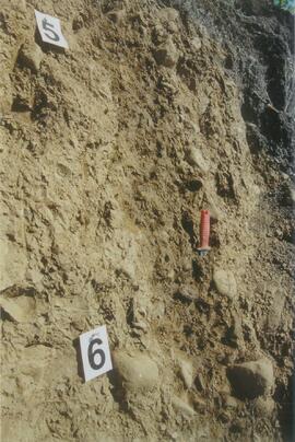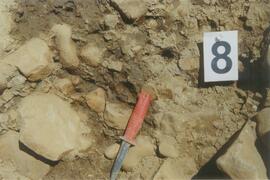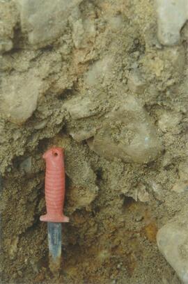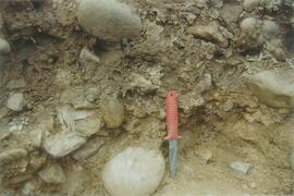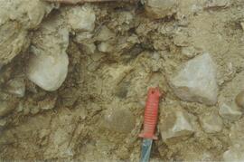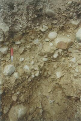
2013.6.36.1.085.12
·
Item
·
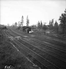
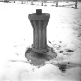
Mar. 1978
Part of David Davies Railway Collection
Photograph depicts the site of the station yard at the CPR Okanagan Landing (defunct 1892-1940). Visible is a surviving non-powered capstan.