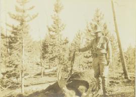
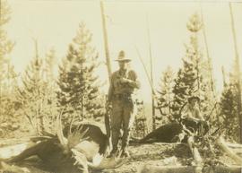
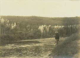
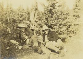
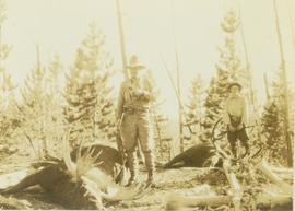
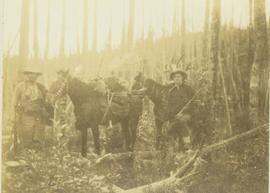
Print preview Close

Showing 3023 results

Archival description
3023 results with digital objects Show results with digital objects
Centre Street Prince Rupert
2009.7.1.251 · Item · ca. 1880-1920
Part of Archdeacon W. H. Collison fonds

Photograph of residents in motion on Centre Street in Prince Rupert. Buildings are visible on either side of the street and a railway track runs down the length of the road. Annotation on recto reads: "Centre Street, Prince Rupert, BC. 1664."

Cemetery
2012.13.1.78.21 · Item · 1982
Part of J. Kent Sedgwick fonds

Image depicts an individual crouching in an old cemetery located somewhere in the coastal forest on Haida Gwaii, B.C.

Cemetery
2012.13.1.6.157 · Item · Nov. 1980
Part of J. Kent Sedgwick fonds

Image depicts a cemetery at an uncertain location, possibly in Fort St. James, B.C.

Cayoosh Valley
2012.13.1.54.10 · Item · July 1977
Part of J. Kent Sedgwick fonds

Image depicts a view of Cayoosh Valley. Cayoosh Creek is visible in the bottom left corner of the image.

2000.1.1.3.13.04 · Item · [before 1970]
Part of Cassiar Asbestos Corporation Ltd. fonds

Photograph depicts the Cassiar townsite behind shadow in foreground. Plantsite can be seen including the mill, dry rock storage building, tailings pile, and many other buildings. Mountains in background. Handwritten annotation on recto: "<- 13 1/2" ->". (This photograph was made into a promotional poster.)

Cariboo Road
2012.13.1.6.031 · Item · June 1974
Part of J. Kent Sedgwick fonds

Image depicts the Cariboo Road at Hat Creek Ranch, near Highway 99 on the way to Lillooet.