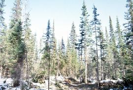
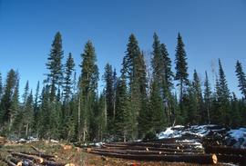
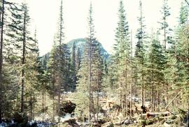
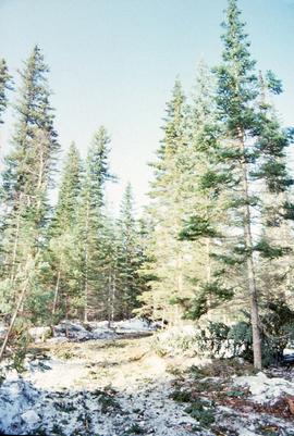
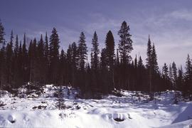
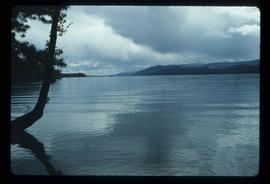
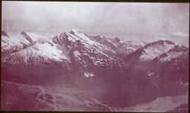
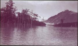
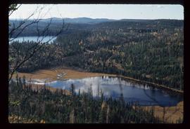
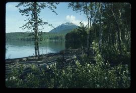
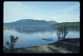
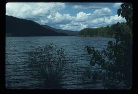
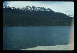
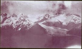
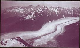
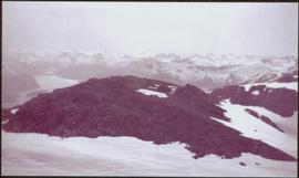
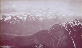
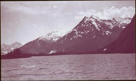
Image depicts Summit Lake.
Annotation on slide: "Summit Lake Select Trial: Resid. Basal Area Study".
Annotation on slide: "Summit Lake Single-Tree Selection Trial 1992".
Annotation on slide: "Summit Lake".
Annotation on slide: "Summit Lake, March 1992".
Photograph taken at Terrace Gardens, Victoria, B.C.
Image depicts a view of a sunset at an uncertain location, possibly in the Peace River Region.
Wide angled photograph of a sunset on the waterfront in Prince Rupert. Several buildings are silhouetted in the foreground. Annotation on recto: "Sunset, Prince Rupert, BC No. 4465."
Image depicts a sunshine recorder at an uncertain location.
Image depicts objects, including a flag pole, that the slide labels as "survey equipment." The slide also places it as a "Peyto icefall," on the Peyto Galcier in the Banff National Park in Alberta, B.C.
Photograph depicts many swallows' nests under eaves of unidentified building, window visible beneath.
Image depicts grooves on Tabor Mountain in Prince George, B.C.
Image depicts grooving on Tabor Mountain in Prince George, B.C.
Image depicts a view of Tabor Lake.
Image depicts a view of the area around Tabor Mountain in Prince George, B.C.
Image depicts Tabor Mountain in the distance, located in Prince George, B.C.
Image depicts a view of the area around Tabor Mountain in Prince George, B.C.
Image depicts Tabor Mountain from the airport in Prince George, B.C.
Image depicts a view of Prince George, from Gunn Point in the L.C. Gunn Park.
Image depicts a forest of dead trees on the slopes of Tabor Mountain in Prince George, B.C.
Image depicts a view of Tabor Mountain in Prince George, B.C.
Image depicts two cabins on the shore near the lodge at Takla Lake.
Image depicts a view of Takla Lake from a cabin on the "west arm."
Image depicts a lake viewed "south-east from lodge;" it is possibly Takla Lake.
Image depicts a cabin on the "west arm" of Takla Lake.
Image depicts a lake with a mountain in the distance, viewed "west from lodge;" it is possibly Takla Lake.
Image depicts a lake, viewed "west from lodge;" it is possibly Takla Lake.
Image depicts Takla Lake west of Leo Creek.
Image depicts the government houses located at the Takla Landing.
Photograph depicts valley in snowy mountain range. Handwritten annotation visible on negative: "Pan. From Camera Sta no w. looking at [?] Glacier."
Image is one of 65 photos documenting a survey of the Canada-Alaska Boundary, Taku River area, May 23 to Oct. 15, 1906. This particular photo is one of 5 found in original enclosure with the following handwritten annotation: "Boundary No.2 camera Sta. Twin Lake & Glacier.” See also items 2006.20.3.42 - 2006.20.3.46.
Image is one of 65 photos documenting a survey of the Canada-Alaska Boundary, Taku River area, May 23 to Oct. 15, 1906. This particular photo is one of 10 found in original enclosure with the following handwritten annotation: "From [Wahut?]-Azmuth and Koshu.” See also items 2006.20.3.48 - 2006.20.3.56.
Photograph depicts wide glacier winding through mountain range.
Image is one of 65 photos documenting a survey of the Canada-Alaska Boundary, Taku River area, May 23 to Oct. 15, 1906. This particular photo is one of 10 found in original enclosure with the following handwritten annotation: "From [Wahut?]-Azmuth and Koshu.” See also items 2006.20.3.47 - 2006.20.3.56.
Photograph features iceberg floating in water, mountains on shore in background.
Image is one of 65 photos documenting a survey of the Canada-Alaska Boundary, Taku River area, May 23 to Oct. 15, 1906. This particular photo is one of 7 found in original enclosure with the following handwritten annotation: "Around River Taku and main camp on same." See also items 2006.20.3.35 - 2006.20.3.41.
Image is one of 65 photos documenting a survey of the Canada-Alaska Boundary, Taku River area, May 23 to Oct. 15, 1906. This particular photo is one of 10 found in original enclosure with the following handwritten annotation: "From [Wahut?]-Azmuth and Koshu.” See also items 2006.20.3.47 - 2006.20.3.56.
Snow-covered mountain peak in foreground.
Image is one of 65 photos documenting a survey of the Canada-Alaska Boundary, Taku River area, May 23 to Oct. 15, 1906. This particular photo is one of 10 found in original enclosure with the following handwritten annotation: "From [Wahut?]-Azmuth and Koshu.” See also items 2006.20.3.47 - 2006.20.3.55.
Photograph depicts river or glacier in valley bellow mountains, flat snowy area in foreground.
Image is one of 65 photos documenting a survey of the Canada-Alaska Boundary, Taku River area, May 23 to Oct. 15, 1906. This particular photo is one of 10 found in original enclosure with the following handwritten annotation: "From [Wahut?]-Azmuth and Koshu.” See also items 2006.20.3.47 - 2006.20.3.56.
Photograph depicts river or glacier in valley bellow mountains. Handwritten annotation visible on negative: "From No. 2 Cam. Sta. [?] Taku River [?]".
Image is one of 65 photos documenting a survey of the Canada-Alaska Boundary, Taku River area, May 23 to Oct. 15, 1906. This particular photo is one of 10 found in original enclosure with the following handwritten annotation: "From [Wahut?]-Azmuth and Koshu.” See also items 2006.20.3.47 - 2006.20.3.56.
Water spans foreground, mountains of opposite shore stand in background.
Image is one of 65 photos documenting a survey of the Canada-Alaska Boundary, Taku River area, May 23 to Oct. 15, 1906. This particular photo is one of 10 found in original enclosure with the following handwritten annotation: "From [Wahut?]-Azmuth and Koshu.” See also items 2006.20.3.47 - 2006.20.3.56.
Photograph depicts small tent set up in bushes, fallen trees in foreground.
Image is one of 65 photos documenting a survey of the Canada-Alaska Boundary, Taku River area, May 23 to Oct. 15, 1906. This particular photo is one of 10 found in original enclosure with the following handwritten annotation: "From [Wahut?]-Azmuth and Koshu.” See also items 2006.20.3.47 - 2006.20.3.56.
Photograph depicts two men on either side of camera on tripod, flag visible behind them. Mountain range and glacier in background.
Image is one of 65 photos documenting a survey of the Canada-Alaska Boundary, Taku River area, May 23 to Oct. 15, 1906. This particular photo is one of 9 found in original enclosure with the following handwritten annotation: "Pictures of different members of ‘our’ party.” See also items 2006.20.3.57 - 2006.20.3.65.
River flows through rocky area, mountains visible in background.
Image is one of 65 photos documenting a survey of the Canada-Alaska Boundary, Taku River area, May 23 to Oct. 15, 1906. This particular photo is one of 9 found in original enclosure with the following handwritten annotation: "Pictures of different members of ‘our’ party.” See also items 2006.20.3.58 - 2006.20.3.65.
Photograph depicts mountain range, river or glacier visible below.
Image is one of 65 photos documenting a survey of the Canada-Alaska Boundary, Taku River area, May 23 to Oct. 15, 1906. This particular photo is one of 10 found in original enclosure with the following handwritten annotation: "From [Wahut?]-Azmuth and Koshu.” See also items 2006.20.3.47 - 2006.20.3.56.
Water spans foreground, trees can be seen in water, trunks submerged. Opposite shore and mountains in background.
Image is one of 65 photos documenting a survey of the Canada-Alaska Boundary, Taku River area, May 23 to Oct. 15, 1906. This particular photo is one of 5 found in original enclosure with the following handwritten annotation: "Boundary No.2 camera Sta. Twin Lake & Glacier.” See also items 2006.20.3.42 - 2006.20.3.45.
Image depicts a tall pine tree somewhere on Haida Gwaii.
Snow on either side of highway stands at extreme height.
Photograph depicts exposed asbestos fibre in talus and outcrop.