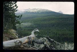
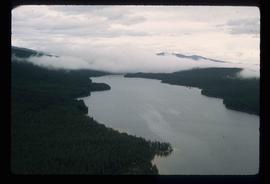
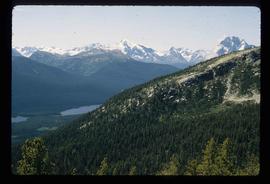
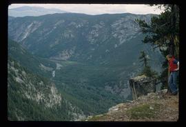
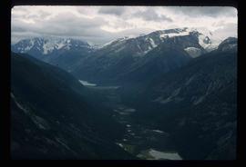
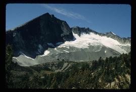
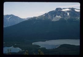
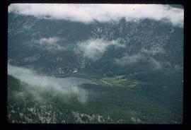
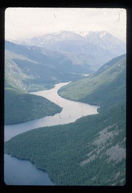
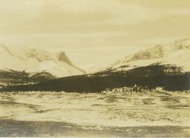
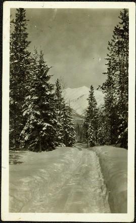
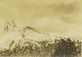
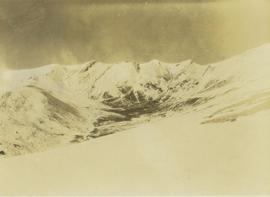
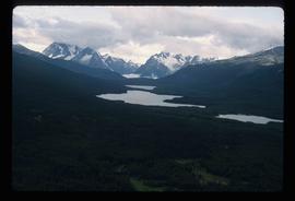
Photograph depicts a snowy plateau in the foreground leading to forested foothills and a snow-covered mountain range in the background.
Image depicts a road covered in snow running through the woods at an uncertain location.
Image depicts a snowy road at an uncertain location.
Mountains visible in background.
Photograph depicts a snow-covered mountain slope with trees at the base of the mountain.
Photograph depicts a snowy vista from the Canadian Rockies.
Group of five miners stand in mining area on left. Woman, man, and young girl sit and stand on far right in more formal attire. Mining tools and equipment throughout.
Printed annotation on recto of photograph: "Société Minière de B.C., Atlin B.C. July 28th, 1901, A.C. Hirschfeld, No. 707".
Image depicts rail road tracks through a forest, as well as a river; located in Soda Creek, B.C.
Image depicts a forest and river in Soda Creek, B.C.
Image depicts the cemetery in Soda Creek, B.C.
Image depicts the old community hall in Soda Creek, B.C.
Image depicts the old jail house in Soda Creek, B.C.
Image depicts an old building located somewhere are the Pickard farm north of Soda Creek, B.C.
Image depicts a section of land, with a few houses, in Soda Creek, B.C.
Image depicts the cutbanks of the Fraser River at Soda Creek, B.C.
Image depicts a cemetery in the South Fort George suburb of Prince George, B.C.
Image depicts an aerial view of a chain of lakes in South Tweedsmuir Provincial Park.
Image depicts an aerial view of South Tweedsmuir Provincial Park.
Image depicts a view of South Tweedsmuir Provincial Park.
Image depicts an aerial view of South Tweedsmuir Provincial Park.
Image depicts a lake and mountain somewhere in South Tweedsmuir Provincial Park.
Image depicts an aerial view of a lake in South Tweedsmuir Provincial Park.
Image depicts an aerial view of South Tweedsmuir Provincial Park.
Image depicts a view of South Tweedsmuir Provincial Park. An unidentified man stands on the side of the image.
Image depicts an aerial view of a "glaciated valley" in South Tweedsmuir Provincial Park. Glacier Mountain is present in the image.
Image depicts an aerial view of Glacier Mountain in South Tweedsmuir Provincial Park.
Image depicts an aerial view of what is likely Glacier Mountain in South Tweedsmuir Provincial Park. The two lakes present are possibly Vista and Junker.
Image depicts an aerial view of South Tweedsmuir Provincial Park. The lake is possibly Lonesome Lake.
Image depicts an aerial view of a lake in South Tweedsmuir Provincial Park. It is possibly Lonesome Lake.
Image depicts an aerial view of what is likely Turner Lake in South Tweedsmuir Provincial Park.
Image depicts Southbank, B.C.
Image depicts Spectacle Lake.
Image depicts the river channel leading to the Spectacle Lakes.
Image depicts a mountain in the distance, and the river channel leading to the Spectacle Lakes.
Image depicts mountains, taken from the river channel leading to the Spectacle Lakes.
Image depicts a man, most likely Kent Sedgwick, using what appears to be some type of a spigot on a tree.
Image depicts a spiky rock formation at an uncertain location.
Image depicts a fishing boat on the water somewhere near Prince Rupert, B.C. Only half of its name is visible: "spirit."
Photograph depicts man standing in front of large streams of water spraying from pipe into mining area, hills in background.
Photograph depicts a miner spraying enclosed area of river bed with water at high velocity. Cliffs in background.