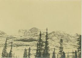
2012.13.1.59.24
·
Item
·
July 1980
Part of J. Kent Sedgwick fonds
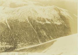
Image depicts Downton Lake, the Lajoie Dam reservoir.