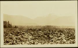
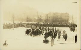
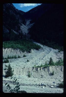
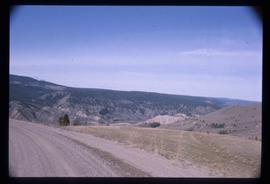
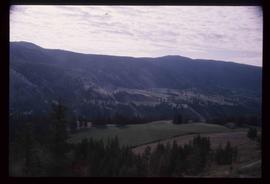
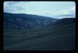
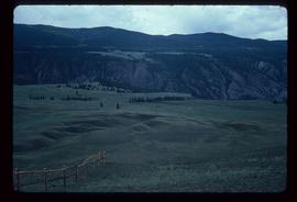
2012.13.1.53.37
·
Item
·
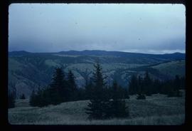
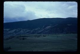
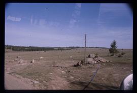
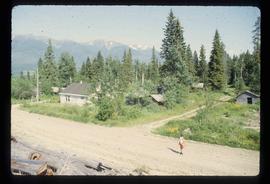
Mar. 1980
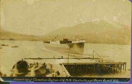
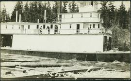
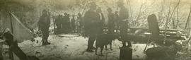
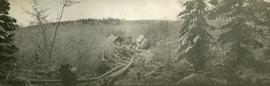
Part of J. Kent Sedgwick fonds
Image depicts Lillooet, B.C.