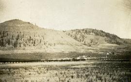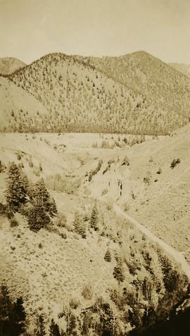
2014.10.1.405
·
Item
·
1920
Part of Arthur Holland Land Surveying Collection
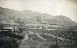
Photograph depicts a view of well kept buildings, orchard and mountains in the background.