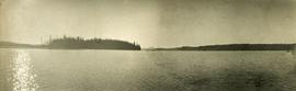
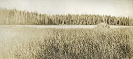
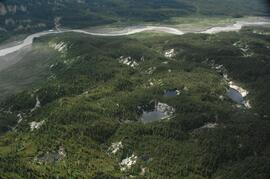
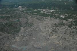
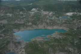
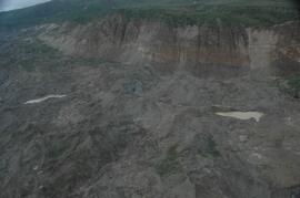
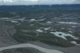
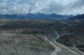
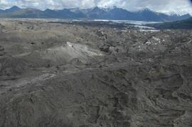
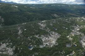
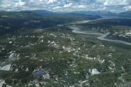
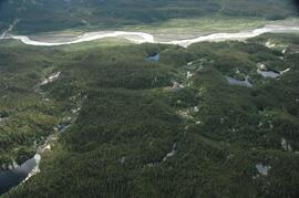
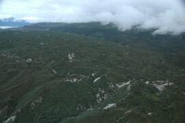
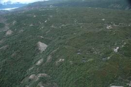
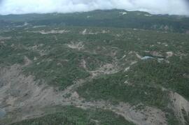
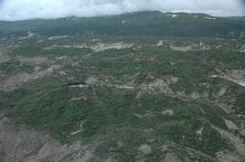
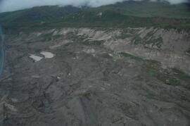
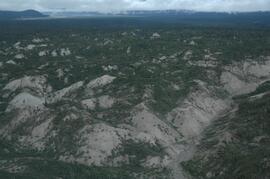
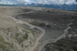
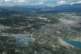
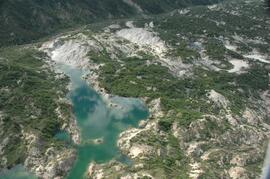
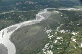
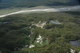
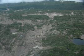
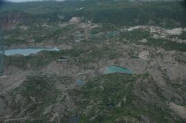
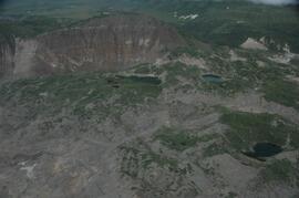
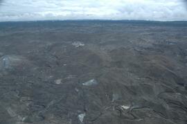
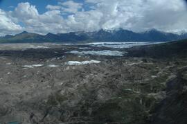
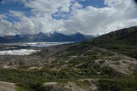
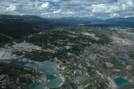
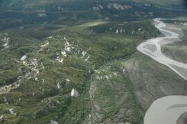
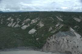
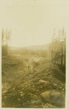
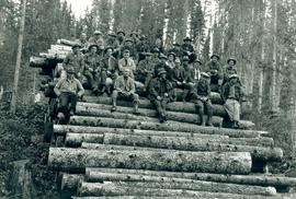
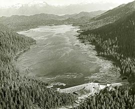
Attached description: An extensive program of development was undertaken for the new Skeena Kraft mill water supply. Dams were constructed to improve storage in the several lakes supplying the water; these are primarily, Diana, Prudhomme and Rainbow. This picture shows the large dam constructed on Diana Lake. A 78-inch wood stave pipeline was built, and now supplements the 48-inch pipeline that served the existing sulphite mill. Enough water is transported to supply a city of more than 100,000 population.
Photograph depicts a lake in the foreground with a possible island in the center of the photograph, low treed hills in the background.
Photograph depicts lake water in the foreground, low treed hills in the background.
Photograph depicts the bow of a boat in the foreground, lake water and low treed hills in the background.
This image is part of the outbound sequence of aerial images obtained on the helicopter flight to the Klutlan Glacier study site. The sequence starts from the base camp at the White River crossing on the Alaska Highway and heads south, to a point just upvalley of the debris-covered terminus (approx. 10-15 km from Alaska border), and turning back north to the landing spot on the Generc River floodplain close to the study site (see Fig. 1 in paper).
This image is part of the return trip sequence of aerial images obtained on the helicopter flight leaving the Klutlan Glacier study site. On the return leg at the end of the day, the flight initially went upvalley to pick up another party.
This image is part of the return trip sequence of aerial images obtained on the helicopter flight leaving the Klutlan Glacier study site. On the return leg at the end of the day, the flight initially went upvalley to pick up another party. This image was taken after the helicopter turned north to return to base camp.
This image is part of the outbound sequence of aerial images obtained on the helicopter flight to the Klutlan Glacier study site. The sequence starts from the base camp at the White River crossing on the Alaska Highway and heads south, to a point just upvalley of the debris-covered terminus (approx. 10-15 km from Alaska border), and turning back north to the landing spot on the Generc River floodplain close to the study site (see Fig. 1 in paper).
Annotation on slide: "Decay in subalpine fire scarred by 1955 stand entry (logged w 91/92), Summit Lake Trial".
Annotation on slide: "Summit defective cull, Marked-to-cut swept log, Summit Lake selection trial".
Photograph depicts two pick hammers laid in asbestos fibre. Annotations on note glued to recto of photograph: "ASBESTOS"; "Detail view of asbestos talus. Early test pit near top of showing. Western slope." Areas of image have been labeled "A" and "B". Photo caption under printed copy of image in 1952 Annual Report: "A - Asbestos fibre partially opened by frost action. B - Serpentine rock originally containing the asbestos fibre."
Item is a photograph of a copy print that has been reproduced as a slide, resulting in low photographic quality. Location of original photograph unknown.
Photograph depicts a dirt road cut between two highbanks with a oil cans (?) stacked in the background between the banks.
Photograph depicts a dirt road through a forested landscape.
Photograph depicts a distance perspective of an unidentified man standing in a large ditchline that runs through a forested landscape.
Item is a copyprint reproduced from the British Columbia Forest Service photographic records held at BC Archives.