Print preview Close

Showing 17198 results

Archival description
Lone Butte, BC
2020.05.22 · Item · Oct. 1936
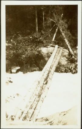
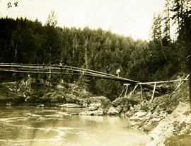
Part of Gordon Wyness Album

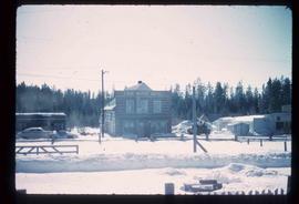
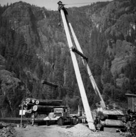
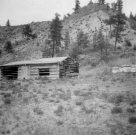
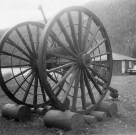
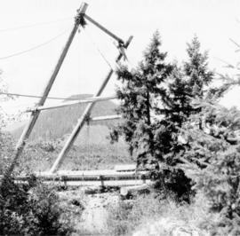
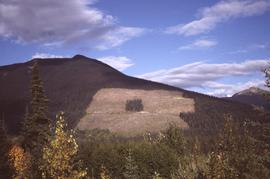
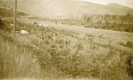
Photograph depicts a view of Lone Butte, BC. The butte formation of the same name (Lone Butte) is visible in the background; a ranch or residence is visible in the foreground. Wyness notes that Lone Butte was the "last one [they] tied in". "Tying in" is a land surveying technique. Since the photograph is dated October 1936 and Wyness described the survey trip as lasting June 5 - October 8, 1936, that implies that Lone Butte was the last location they surveyed on this trip.

2012.13.1.87.013 · Item · [between 1975 and 1995]
Part of J. Kent Sedgwick fonds

Image depicts a pile of old logs on the bank of the Fraser River with mountains in the background. In the foreground, a set of railway tracks run through an uncertain location, likely Upper Fraser, B.C.

Logs and Machinery
2012.13.1.87.056 · Item · [between 1975 and 1995]
Part of J. Kent Sedgwick fonds

Image depicts numerous piles of logs, and two unidentified individuals operating an excavator with a "thumb" attachment during the demolition of the Upper Fraser town site. Map coordinates 54°06'51.6"N 121°56'26.3"W

Logging, Newport, BC
2020.08.21 · Item · [between 1911 and 1914]
Part of Pacific Great Eastern Railway Region Photograph Collection

Photograph depicts the unloading of logs from rail cars into the Mamquam River Blind Channel in Squamish (then Newport). The valley bottom around Squamish was logged from Mamquam River north to across the Cheakamus River before the construction of the Pacific Great Eastern Railway.

2014.2.1.09 · Item · [between 1938 and 1945]
Part of Cornel Neronovitch Logging and Sawmills Collection

Photograph depicts a loaded logging truck on corduroy log road near Peden Hill sawmill. The truck has three passengers--a man and two women--sitting on top of the loaded logs. The leftmost passenger is Mrs. Fred Tesluk; Fred Tesluk co-owned the Peden Hill mill with Cornel Neronovitch. Cornel Neronovitch stands at the right of the photograph, in front of the truck.

Logging road, Gold River
2013.6.36.1.069.15 · Item · Aug. 1975
Part of David Davies Railway Collection

Photograph taken north of Gold River, at the Tahsis Ltd. Tree Farm, on a logging road that led to Port McNiel. Crossing the Muchalat River. The bridge was disused and blocked off.

2004.5.1.26 · Item · ca. 1914
Part of Fort Fraser historical photograph collection

Typed caption glued to album page directly below photograph reads: "41. Looking South from Block 171 Nechac[k]o River at a distance & logging operations south of Fort Fraser." Photograph depicts a cleared section of land in foreground and a wooden building and three tents situated beside the Nechako River in midground. Photographer: Dominion Stock & Bond Corporation.

Logging caboose
2013.6.36.1.136.28 · Item · [May 2007]
Part of David Davies Railway Collection

Photograph depicts a primitive logging caboose. Believed to have been built by or for the Esquimalt & Nanaimo Railway in 1898.

Logging
2012.13.1.3.043 · Item · Nov. 1977
Part of J. Kent Sedgwick fonds

Image depicts an area undergoing logging somewhere in Prince George, B.C.

Logging
2012.13.1.122.12 · Item · 1977
Part of J. Kent Sedgwick fonds

Image depicts a logging area somewhere near Prince George, B.C.

Logging
2012.13.1.122.13 · Item · 1977
Part of J. Kent Sedgwick fonds

Image depicts a logging area somewhere near Prince George, B.C.

2009.6.1.115 · Item · 3 January 1975
Part of The Honourable Iona Campagnolo fonds

Photograph depicts a forested mountain, the bottom half of which has been logged and terraced; beneath the mountain is a railroad track and parked vehickes including a schoolbus and two dumptrucks.

Handwritten annotation on verso reads: “Fairview Sodturning, Prince Rupert, 1/3/75”.