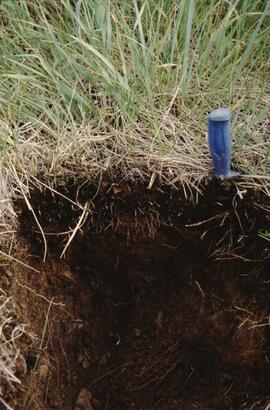
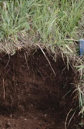
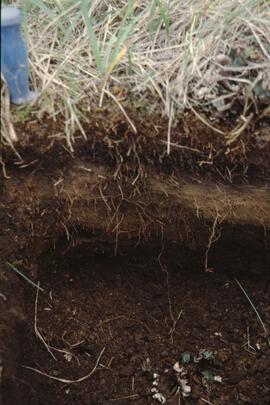
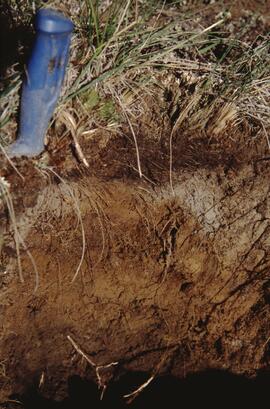
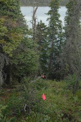
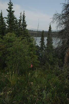
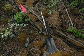
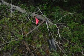
File contains the following data sets:
- Phytolith contents.xls [phytolith content in 5-20 µm silt, tallied by morphological categories; also summarized as % of total soil fine (< 2 mm) fraction]
- M-K (2001) soil LOI data.pdf [LOI (loss-on-ignition) data for sampled soil horizons – proxy measurement for organic matter content]
Document prepared by P. Grilz contains species lists and UTM coordinates for 10 sampling locations for the M-K-2001-2002-81 Seed Project.
This 2002 Sanborn & Grilz phytolith report to the M-K Trust Fund presents research results, compiles data, and includes site descriptions and photographs.
With support from the Muskwa-Kechika Trust Fund as a Seed Grant, Dr. Paul Sanborn carried out a pilot study of soils in relation to prescribed burning in the Northern Rocky Mountains, in collaboration with Perry Grilz, then a Range Officer in the Ministry of Forests. Sanborn and Grilz conducted 3 days of field work in July 2001. Sanborn wanted to test the utility of plant-derived opal (phytoliths) as a soil indicator of vegetation history, in the hope of distinguishing natural grasslands from those created by anthropogenic burning.
Photograph depicts a Kluane Lake transect 3 location.