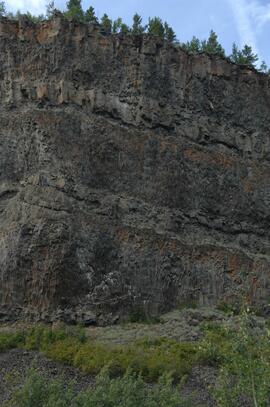
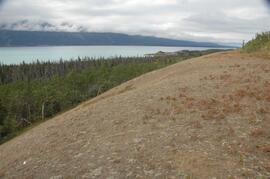
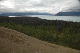
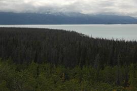
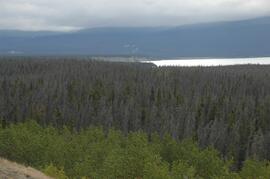
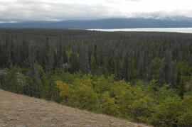
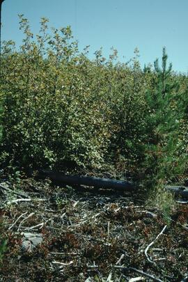
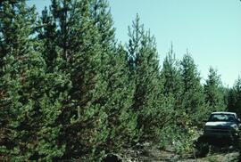
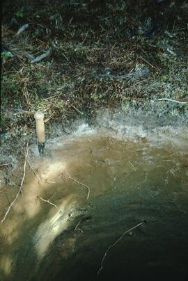
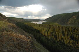
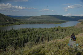
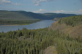
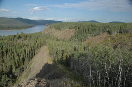
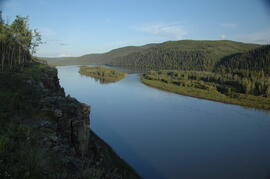
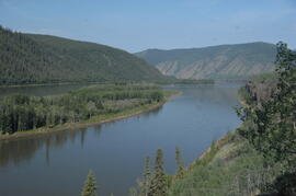
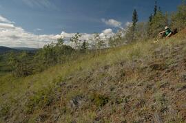
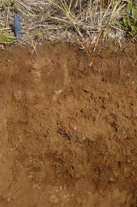
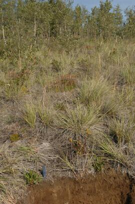
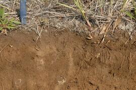
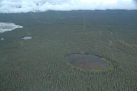
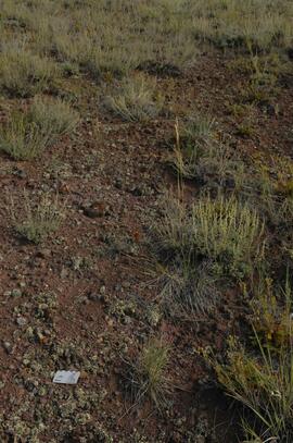
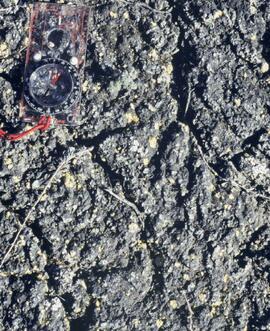
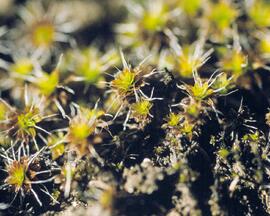
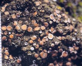
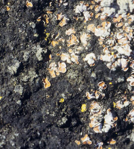
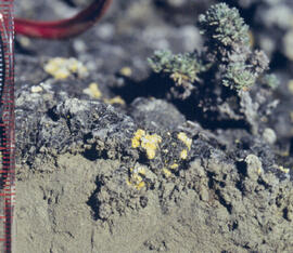
During the 1980s, Agriculture Canada pedologists Scott Smith (retired from Summerland Research Station, formerly based in Whitehorse) and Charles Tarnocai (retired from Central Experimental Farm, Ottawa) had a large field program which addressed the trends in soil development in the central Yukon. Across this region, particularly between Whitehorse and Dawson City, the land surfaces and surficial deposits vary greatly in age due to the differing extents of glaciations over the past ~2 million years.
This work built on a pioneering study from the previous decade:
Foscolos, A.E., N.W. Rutter, and O.L. Hughes. 1977. The use of pedological studies in interpreting the Quaternary history of central Yukon Territory. Bulletin 271. Geological Survey of Canada, Ottawa. 48 p. https://doi.org/10.4095/103066
Tarnocai and Smith presented their results in two publications:
C. A. S. Smith, C. Tarnocai, and O. L. Hughes. 1986. Pedological investigations of Pleistocene glacial drift surfaces in the central Yukon. Géographie physique et Quaternaire, 40 (1): 29–37. https://doi.org/10.7202/032620ar
Tarnocai, C. and C. A. S. Smith. 1989. Micromorphology and development of some central Yukon paleosols, Canada. Geoderma 45 (2): 145-162. https://doi.org/10.1016/0016-7061(89)90047-5
Tarnocai and Smith shared the unpublished data and soil samples from this work with Dr. Paul Sanborn, and this resulted in a student project published as:
Daviel, E., P. Sanborn, C. Tarnocai, and C.A.A. Smith. 2011.Clay mineralogy and chemical properties of argillic horizons in central Yukon paleosols. Canadian Journal of Soil Science 91: 83-93. https://doi.org/10.4141/cjss10067
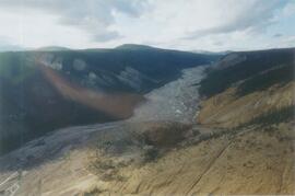
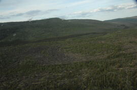
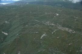
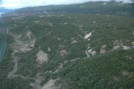
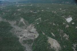
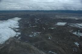
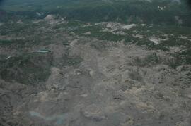
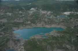
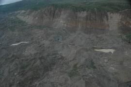
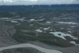
This image is part of the outbound sequence of aerial images obtained on the helicopter flight to the Klutlan Glacier study site. The sequence starts from the base camp at the White River crossing on the Alaska Highway and heads south, to a point just upvalley of the debris-covered terminus (approx. 10-15 km from Alaska border), and turning back north to the landing spot on the Generc River floodplain close to the study site (see Fig. 1 in paper).
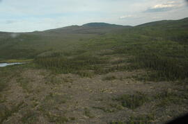
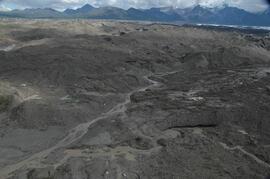
This image is part of the outbound sequence of aerial images obtained on the helicopter flight to the Klutlan Glacier study site. The sequence starts from the base camp at the White River crossing on the Alaska Highway and heads south, to a point just upvalley of the debris-covered terminus (approx. 10-15 km from Alaska border), and turning back north to the landing spot on the Generc River floodplain close to the study site (see Fig. 1 in paper).
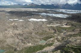
This image is part of the outbound sequence of aerial images obtained on the helicopter flight to the Klutlan Glacier study site. The sequence starts from the base camp at the White River crossing on the Alaska Highway and heads south, to a point just upvalley of the debris-covered terminus (approx. 10-15 km from Alaska border), and turning back north to the landing spot on the Generc River floodplain close to the study site (see Fig. 1 in paper).
This image is part of the outbound sequence of aerial images obtained on the helicopter flight to the Klutlan Glacier study site. The sequence starts from the base camp at the White River crossing on the Alaska Highway and heads south, to a point just upvalley of the debris-covered terminus (approx. 10-15 km from Alaska border), and turning back north to the landing spot on the Generc River floodplain close to the study site (see Fig. 1 in paper).
This image is part of the outbound sequence of aerial images obtained on the helicopter flight to the Klutlan Glacier study site. The sequence starts from the base camp at the White River crossing on the Alaska Highway and heads south, to a point just upvalley of the debris-covered terminus (approx. 10-15 km from Alaska border), and turning back north to the landing spot on the Generc River floodplain close to the study site (see Fig. 1 in paper).
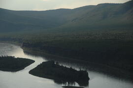
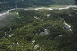
This image is part of the return trip sequence of aerial images obtained on the helicopter flight leaving the Klutlan Glacier study site. On the return leg at the end of the day, the flight initially went upvalley to pick up another party.
This image is part of the return trip sequence of aerial images obtained on the helicopter flight leaving the Klutlan Glacier study site. On the return leg at the end of the day, the flight initially went upvalley to pick up another party.
This image is part of the return trip sequence of aerial images obtained on the helicopter flight leaving the Klutlan Glacier study site. On the return leg at the end of the day, the flight initially went upvalley to pick up another party. This image was taken after the helicopter turned north to return to base camp.
This image is part of the outbound sequence of aerial images obtained on the helicopter flight to the Klutlan Glacier study site. The sequence starts from the base camp at the White River crossing on the Alaska Highway and heads south, to a point just upvalley of the debris-covered terminus (approx. 10-15 km from Alaska border), and turning back north to the landing spot on the Generc River floodplain close to the study site (see Fig. 1 in paper).
This image is part of the outbound sequence of aerial images obtained on the helicopter flight to the Klutlan Glacier study site. The sequence starts from the base camp at the White River crossing on the Alaska Highway and heads south, to a point just upvalley of the debris-covered terminus (approx. 10-15 km from Alaska border), and turning back north to the landing spot on the Generc River floodplain close to the study site (see Fig. 1 in paper).
This image is part of the outbound sequence of aerial images obtained on the helicopter flight to the Klutlan Glacier study site. The sequence starts from the base camp at the White River crossing on the Alaska Highway and heads south, to a point just upvalley of the debris-covered terminus (approx. 10-15 km from Alaska border), and turning back north to the landing spot on the Generc River floodplain close to the study site (see Fig. 1 in paper).
This image is part of the outbound sequence of aerial images obtained on the helicopter flight to the Klutlan Glacier study site. The sequence starts from the base camp at the White River crossing on the Alaska Highway and heads south, to a point just upvalley of the debris-covered terminus (approx. 10-15 km from Alaska border), and turning back north to the landing spot on the Generc River floodplain close to the study site (see Fig. 1 in paper).
