Photograph depicts scientists Alejandra Duk-Rodkin (GSC) and Rene Barendregt (U Lethbridge) working at the Norman Range site.
Photograph depicts scientists Paul Sanborn and Rene Barendregt (U Lethbridge) working at the Norman Range site.
Data set consists of data collected for Inlin Brook (sites N04-02, -03, -04) and Red Ochre River (N04-05).
This born-digital document is an unpublished report to the Geological Survey of Canada on field work data and interpretations of Inlin Brook paleosols.
As part of a multidisciplinary team led by Grant Zazula (then a Ph.D. student at Simon Fraser University; later a palaeontologist with the Government of Yukon) and Duane Froese (Professor, University of Alberta), Dr. Paul Sanborn examined a set of buried paleosols (fossil soils) preserved in frozen sediments exposed by placer mining in the spring of 2004.
The findings were published in:
Zazula, G.D., D.G. Froese, S.A. Elias, S. Kuzmina, C. La Farge, A.V. Reyes, P.T. Sanborn, C.E. Schweger, C.A.S. Smith, and R.W. Mathewes. 2006. Vegetation buried under Dawson tephra (25,300 14C yr BP) and locally diverse late Pleistocene paleoenvironments of Goldbottom Creek, Yukon, Canada. Palaeogeography, Palaeoclimatology, Palaeoecology 242: 253–286.
https://doi.org/10.1016/j.palaeo.2006.06.005
The Lost Chicken Mine, a placer gold mine in eastern Alaska, approximately 120 km west of Dawson City, Yukon, is an important fossil locality for the late Pliocene (approximately 2.5 – 3.0 million years ago). A comprehensive account of the stratigraphy and paleontology of this site was given by:
Matthews, J.V., Jr., J.A. Westgate, L. Ovenden, L.D. Carter, and T. Fouch. 2003. Stratigraphy, fossils, and age of sediments at the upper pit of the Lost Chicken gold mine: new information on the late Pliocene environment of east central Alaska. Quaternary Research 60: 9-18. https://doi.org/10.1016/S0033-5894(03)00087-5
Dr. Paul Sanborn visited the site on July 20, 2004, as part of a group led by Duane Froese (Professor, University of Alberta). The group concentrated on a single exposure (~ 2 m thick) straddling the Lost Chicken tephra, a volcanic ash bed (2.9 ± 0.4 myr) which is a major stratigraphic marker at the site. Sanborn described, photographed, and sampled this exposure, and obtained a basic set of characterization data. Intact samples were collected but thin sections were never produced.
Carter, L. David, Thomas D. Fouch, and Michael J. Kunk. (n.d.) Physical stratigraphy and regional setting of the Lost Chicken placer mine, Alaska. [unpublished draft manuscript]
Carter, L. David, Thomas D. Fouch, C.A.Scott Smith and Michael J. Kunk. (n.d.) Physical stratigraphy, sedimentology, and regional setting of Pliocene deposits at the Lost Chicken placer mine, east-central Alaska. [unpublished draft manuscript, with cover memo from D. Carter dated Oct 15, 1993]
Adam, David P. 1992. Pliocene and Quaternary pollen from the Lost Chicken Mine, Alaska. Preliminary draft prepared for the USGS/GSC Whitehorse Workshop, April 26-28, 1992.
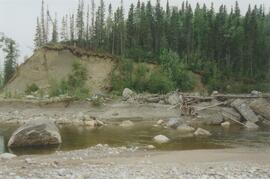
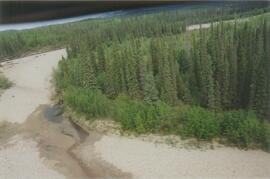
File consists of proceedings and abstracts for conferences and workshops attended by Paul Sanborn.
Includes the following items:
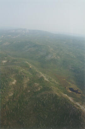
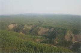
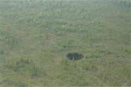
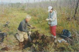
Alloway, B.V., D.G. Froese, and J.A. Westgate (eds.) 2005. Proceedings of the International Field Conference and Workshop on Tephrochronology & Volcanism: Dawson City, Yukon Territory, Canada, July 31st – August 8th, 2005.
BC Forestry Continuing Studies Network. 1994. Workshop proceedings: Grasses and legumes in forestry - A forum for discussing the economic and ecological costs and benefits of using grass and legume species in all phases of northern forest management. Prince George, BC: April 6-7, 1994.
Canadian Quaternary Association. 2001. Canadian Quaternary Association Meetings, 2001: Program and Abstracts. Occasional Paper in Earth Sciences No. 1. Heritage Branch, Government of the Yukon. http://emrlibrary.gov.yk.ca/Tourism/canadian-quaternary-association-meetings-program-and-abstracts-2001.pdf
Enhanced Forest Management Pilot Project. 2000. Proceedings of the March 30-31 Information Session. Robson Valley Forest District. [9 extended abstracts & full articles]
Society for Ecological Restoration. 1995. Taking a broader view: 1995 international conference. September 14-16, 1995. University of Washington, Seattle WA, USA. [program & abstracts]
This born-digital "Profile Descriptions" document provides descriptions of Williams Lake (Skulow Lake), Aleza 1 & 2, Log Lake, and Lucille Mountain pedons.
During a year away from studies in 1987-88, Dr. Paul Sanborn developed a successful grant proposal to the Science Council of BC (SCBC) to pursue a postdoctoral project with Dr. Tim Ballard in relation to sulphur-deficient soils in BC and prescribed fire. This project built on an existing broadcast burning study conducted by Macmillan Bloedel Ltd. near Port Alberni on Vancouver Island, led by Bill Beese (later at Vancouver Island University). Dr. Sanborn's work addressed sulphur forms and amounts in the soils at these sites, and the chemical processes influencing sulphur availability in relation to prescribed fire.
Only one part of this work was eventually published:
Sanborn, P.T. and T.M. Ballard. 1991. Combustion losses of sulphur from conifer foliage: Implications of chemical form and soil nitrogen status. Biogeochemistry 12: 129–134.
https://doi.org/10.1007/BF00001810
The remainder of the work was documented in this Project Completion Report to SCBC, dated February 28, 1990, and entitled "Effects of Prescribed Fire on Sulphur in Forest Soils".
Map depicts range reference area exclosure locations for livestock and wildlife in the Fort St. John Forest District.