2023.2.2.13.2.43
·
Item
·
9 Jul. 2007
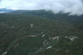
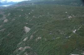
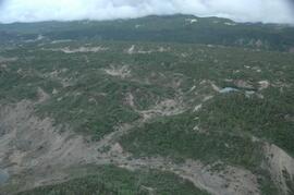
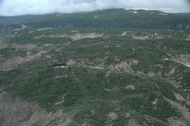
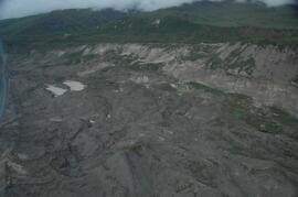
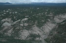
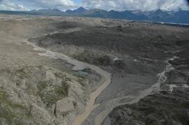
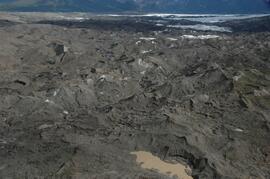
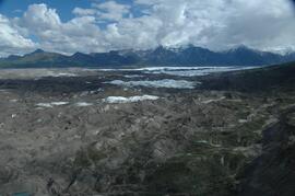
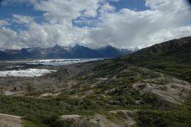
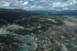
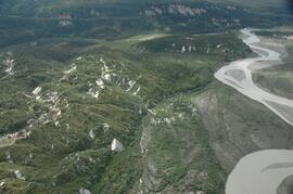
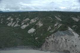
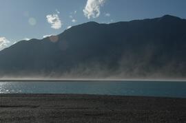
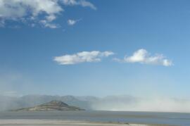
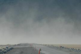
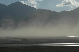
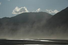
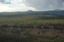
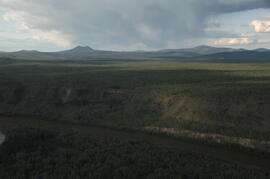
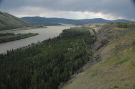
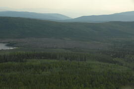
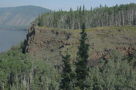
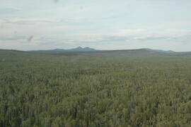
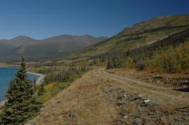
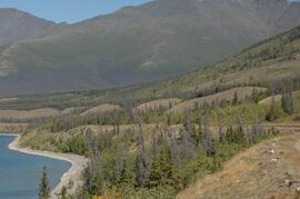
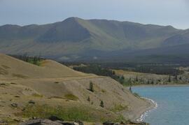
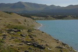
Part of Dr. Paul Sanborn fonds
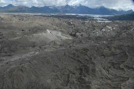
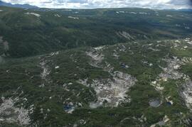
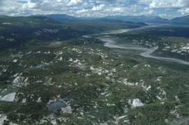
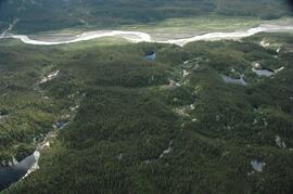
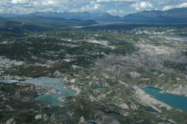
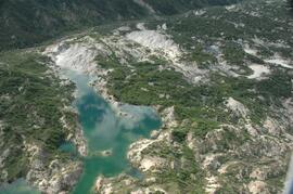
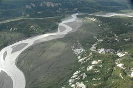
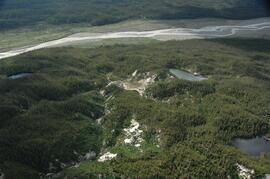
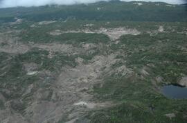
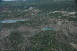
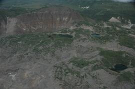
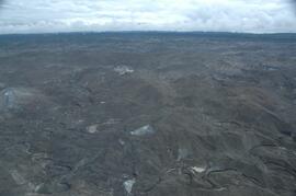
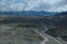
This image is part of the return trip sequence of aerial images obtained on the helicopter flight leaving the Klutlan Glacier study site. On the return leg at the end of the day, the flight initially went upvalley to pick up another party.