Print preview Close
Showing 764 results
Archival description
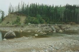
Red Ochre River (8)
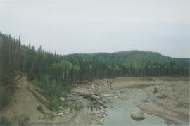
Red Ochre River (7)
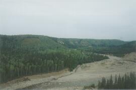
Red Ochre River (6)
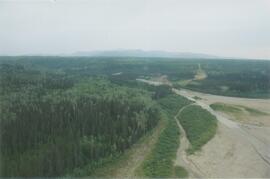
Red Ochre River (5)
Red Ochre River (4)
Red Ochre River (3)
Red Ochre River (2)
Red Ochre River (1)
Rat Lake
Photographs from Mackenzie Mountains & Mackenzie valley, NWT
Photographs from Mackenzie Mountains & Mackenzie valley, NWT
Photographs from Lost Chicken Mine
Photographs from Lost Chicken Mine
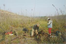
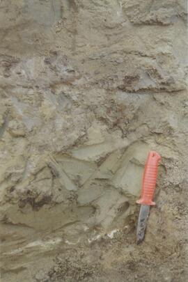
Photographs from Gold Bottom paleosols study
Photographs from Gold Bottom paleosols study

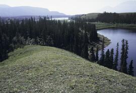
Pelly River and Yukon River confluence

Pelly River and Yukon River confluence
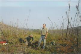
Paul Sanborn holding Owen Hughes' shovel
Paul Sanborn holding Owen Hughes' shovel
Paul Sanborn holding Owen Hughes' shovel
Paul Sanborn holding Owen Hughes' shovel

Paleosols at the Lost Chicken Mine, Chicken, Alaska

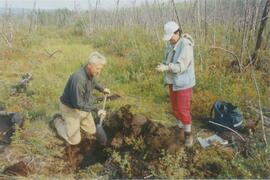
Paleosols at the Goldbottom site, Klondike goldfields

Nostoc Crust (Kluane NP, Lower Slims)

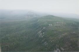
North side of Volcano Mountain

North side of Volcano Mountain

North side of Volcano Mountain

North side of Volcano Mountain

North side of Volcano Mountain

North side of Volcano Mountain

North side of the Yukon River, mid-Pleistocene basalts west of gully
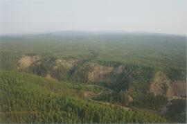
Norman Range site with loess over till (3)
Norman Range site with loess over till (2)
Norman Range site with loess over till (1)
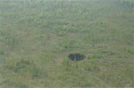
Norman Range sinkhole
Norman Range (6)
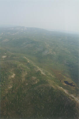
Norman Range (5)
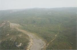
Norman Range (4)
Norman Range (3)

Norman Range (2)
Norman Range (1)
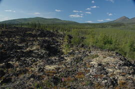
New tephra at Site Y04-18 at Lost Chicken Mine (8)

Near Camp 3

Near Camp 3

Near Camp 3

Near Camp 3
Near Camp 3

Near Camp 1, facing west down the Yukon River
Muskwa-Kechika project slides
Muskwa-Kechika project slides
Muskwa-Kechika project digital images
Muskwa-Kechika project digital images

Mouth of Black Creek

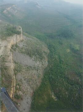
Middle Pleistocene basalt cliffs, facing downstream between Camp 1 and Camp 2

Middle Pleistocene basalt cliffs, facing downstream between Camp 1 and Camp 2

Middle Pleistocene basalt cliffs west of Camp 2
Middle Pleistocene basalt cliffs west of Camp 2
Middle Pleistocene basalt cliffs west of Camp 2