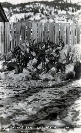
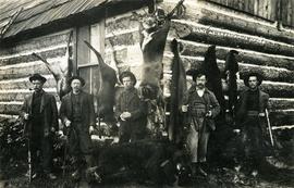
Photograph depicts a pile of hunting trophies in Lillooet, B.C. Visible are what appear to be mule deer antlers, big horn sheep horns, and mountain goat pelts and horns.
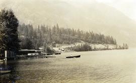
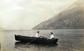
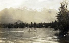
Photograph depicts a couple in a row boat (likely the same couple depicted in image 2020.08.59) near Alta Lake shore docks and buildings. A rail line and a railway water tower are visible in the background. The water tank is a typical PGE 25,000 gallon water tank. The station would be a little over 400 feet south of the tank and is hidden by the stand of trees.
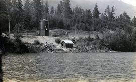
Photograph depicts a railway water tower, a small building, and a rail line along a lake shore. This is a close-up of the area depicted in image 2020.08.84. The water tank is a typical PGE 25,000 gallon water tank. The station would be a little over 400 feet south of the tank.
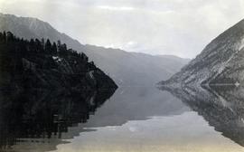
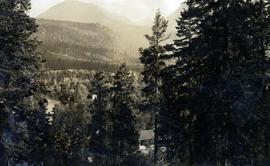
Photograph depicts a view of Anderson Lake at D'Arcy looking northeast. The Pacific Great Eastern Railway line is visible, including a small railway trestle.
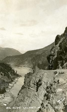
Photograph depicts the "Big Slide" at Lillooet. Also visible are a horse-drawn cart and the Fraser River.
Photograph depicts a man and a woman in a row boat on Alta Lake.
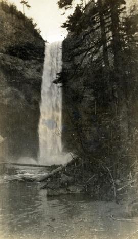
Photograph depicts the waterfall Brandywine Falls.
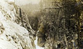
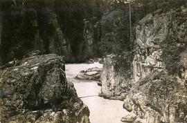
Photograph depicts an unknown canyon. It may be located in the area of Cheakamus Canyon near Squamish.
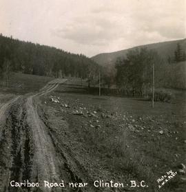
Photograph depicts the Cariboo Road near Clinton, B.C.
Photograph depicts a horseback rider crossing Cayoosh Creek at a log bridge near Lillooet.
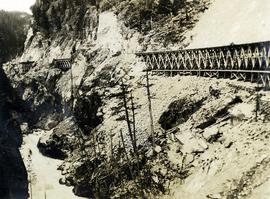
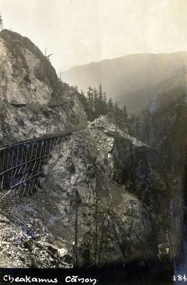
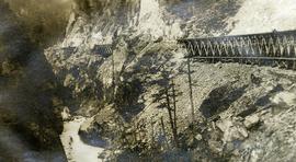
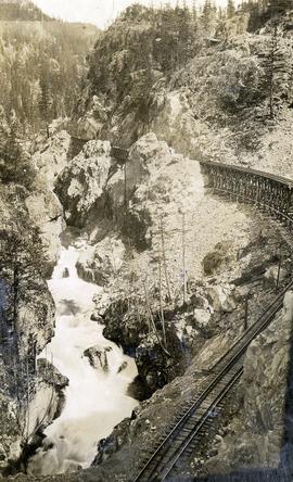
Photograph depicts a Pacific Great Eastern Railway wooden trestle in Cheakamus Canyon.
Photograph depicts a Pacific Great Eastern Railway wooden trestle in Cheakamus Canyon.
Photograph depicts a Pacific Great Eastern Railway wooden trestle in Cheakamus Canyon.
Photograph depicts a Pacific Great Eastern Railway wooden trestle in Cheakamus Canyon at 19 mile.
Photograph depicts a Pacific Great Eastern Railway wooden trestle in Cheakamus Canyon.
Photograph depicts a Pacific Great Eastern Railway wooden trestle in Cheakamus Canyon.
Photograph depicts the Cheakamus River at "18 mile", as seen from the railway grade.
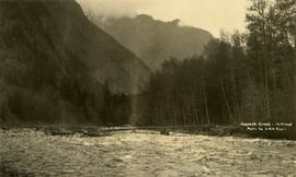
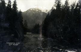
Caption provided on "real photo" postcard states: "Cheakamus River from bridge". However, this photograph may depict the Cheekye River, as seen from the railway bridge, looking southwest.
Photograph depicts two children in a row boat on an unknown lake in BC. Buildings can be seen along the shore in the background.
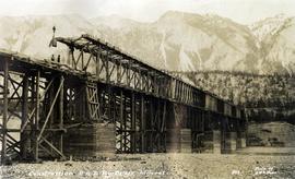
Photograph depicts the Pacific Great Eastern Railway bridge under construction on the original route at Lillooet, which was active 1915 to 1931. Including its approach spans, the bridge was 2,630 ft. long, almost exactly half a mile. The mileage on the PGE's original mileage system was 120.6.
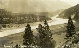
Photograph depicts the Copeland ranch on a bench of the Fraser River in Lillooet, BC.
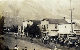
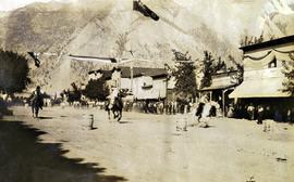
Photograph depicts an event on Lillooet Main Street with spectator crowds. The Union Jack and Canadian Red Ensign flags suggest this may be a Dominion Day event. The Lillooet community put on large, multi-day Dominion Day events between 1912 and 1916 with many planned activities. The particular activity depicted in this photograph may be a horse race or rodeo-type event. Main Street businesses visible include the Lillooet Restaurant, the Lillooet Pool Hall, and the "OK" Baths.
Photograph depicts an event on Lillooet Main Street with spectator crowds. The Union Jack and Canadian Red Ensign flags suggest this may be a Dominion Day event. The Lillooet community put on large, multi-day Dominion Day events between 1912 and 1916 with many planned activities. The particular activity depicted in this photograph appears to be a horse race event. Main Street businesses visible include the Lillooet Restaurant and the "C.A. Phair General Merchant" store.
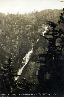
Photograph depicts Shannon Falls near Squamish, which was formerly named Fairy Falls.
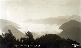
Photograph depicts a view of fog over the Fraser River in the Lillooet area.
Photograph depicts the Pacific Great Eastern Railway bridge when the railway operated on the east side of the Fraser River. The new grade being cut on the west side toward the site of the railway bridge is visible.
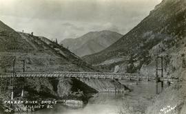
Photograph depicts the Pacific Great Eastern Railway bridge when the railway operated on the east side of the Fraser River.
Photograph depicts hunters with their kill in front of the Cheakamus Road House. The man second from left is believed to be Dutch Charlie and the hunters believed to be mostly from Vancouver.
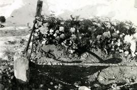
Photograph depicts a grave, covered in flowers and surrounded by snow. The grave is marked with what appears to be cement grave markers bordering the burial. The location of the grave is unknown.
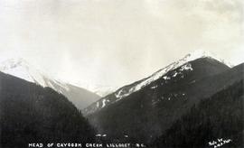
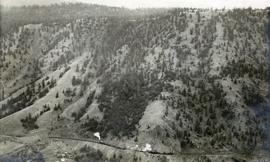
Photograph depicts a view of mountains, described as the head of Cayoosh Creek near Lillooet, BC.
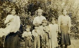
Photograph depicts a group of Indigenous women and children in an unknown location, possibly Lillooet.
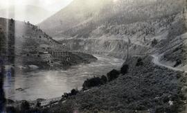
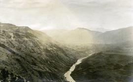
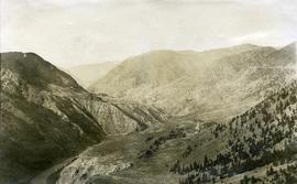
Photograph depicts a view of a river, possibly the Fraser River, canyon, mountains, and scrub land.
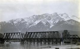
Photograph depicts the the Lillooet River Bridge north of Pemberton, BC. Mt. Currie is visible in the background.
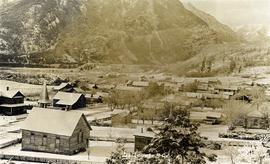
Photograph depicts a view of Lillooet's Main Street looking south southeast. The St. Andrew's United Church is visible in the foreground; the Anglican church is visible at the end of the street.
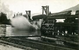
Photograph depicts the unloading of logs from rail cars into the Mamquam River Blind Channel in Squamish (then Newport). The valley bottom around Squamish was logged from Mamquam River north to across the Cheakamus River before the construction of the Pacific Great Eastern Railway.
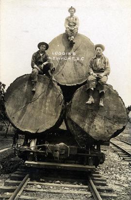
Photograph depicts three men sitting on large logs on a logging truck. The men are believed to be, from left to right: unknown, Al Lassmann, Jack Phelps.
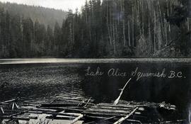
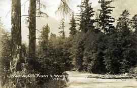
Photograph depicts the Mamquam River near Squamish.
Photograph depicts a view of the Fraser River, scrub land, and mountains in the Moran Canyon area near Lillooet.
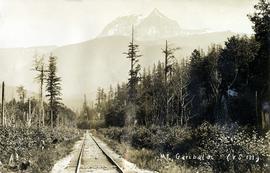
Photograph depicts a view of Mt. Garibaldi, possibly from Brackendale.
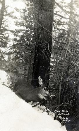
Photograph depicts a a mule deer hunting kill in Lillooet, BC.
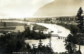
Photograph depicts a view of Squamish, which was named Newport between 1911-1914. This photograph was taken from the Squamish Smoke Bluffs, looking south. Mamquam River blind channel visible in foreground.
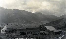
Photograph depicts a ranch home and barn along the road from Lillooet to Clinton. The location is believed to be a homestead 2 miles south of Pavilion Station. Two cars are parked beside the property, with a number of men nearby.
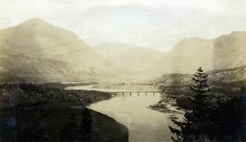
Photograph depicts a view of the Pacific Great Eastern Railway bridge across the Fraser River at Lillooet.
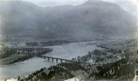
Photograph depicts a view of the Pacific Great Eastern Railway bridge across the Fraser River and the nearby Lillooet surrounding area. The photograph shows Lillooet looking up Town Creek Valley. Chinese gold washing activity is visible nearby the bridge.
Photograph depicts the Pacific Great Eastern Railway line at Pavilion looking south. An irrigation ditch line is also visible.
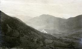
Photograph depicts a view of a train on the Pacific Great Eastern Railway line approximately 2 miles south of the Pavilion station.
