Showing 1803 results
Archival description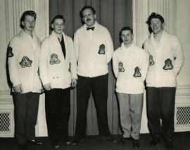
1956 High School Curling Peace River District champions
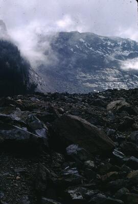
1965 Hope Slide on the Hope-Princeton Highway
1968 slides (tray 3)
1968 slides (tray 3)
1968-1969 slides (tray 4)
1968-1969 slides (tray 4)
1970-1971 slides (tray 5)
1970-1971 slides (tray 5)
1971 slides (tray 6)
1971 slides (tray 6)
1971-1972 slides (tray 7)
1971-1972 slides (tray 7)
1972-1973 slides (tray 8)
1972-1973 slides (tray 8)
1972-1975 slides (tray 10)
1972-1975 slides (tray 10)
1975-1977 slides (tray 12)
1975-1977 slides (tray 12)
1976-1978 slides (tray 13)
1976-1978 slides (tray 13)
1976-1978 slides (tray 14)
1976-1978 slides (tray 14)
1977-1978 slides (tray 15)
1977-1978 slides (tray 15)
1978 slides (tray 16)
1978 slides (tray 16)
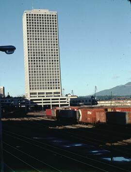
200 Granville and railyard in Vancouver
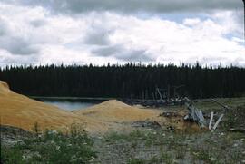
Abandoned exploration camp at Ealue Lake
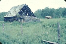
Abandoned farm in Smithers
Abandoned logging camps at Yahk River
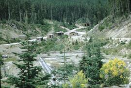
Abandoned mine at Doctor Creek
Abandoned portable bush sawmill, Sinkut Lake
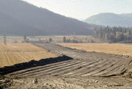
Access road through field near Vernon
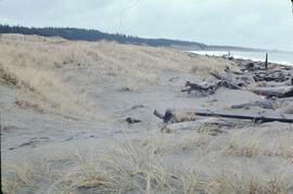
Active dune on shoreline near Tlell River
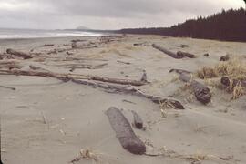
Active dunes and shoreline near Masset
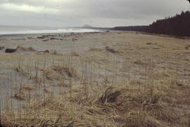
Active dunes and shoreline near Masset
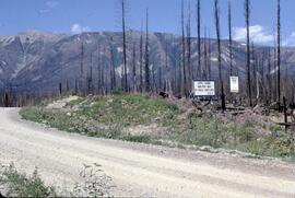
Active logging area sign surrounded by burnt trees north of Donald
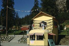
Adventureland at Woods Lake
Aerial photograph of Scout Island Nature Centre, Williams Lake
Aerial photograph of Scout Island Nature Centre, Williams Lake

Aerial photograph of West Coast Trail at Carmanah Lighthouse

Aerial photograph of West Coast Trail at Nitinat Narrows

Aerial photograph of West Coast Trail at Tsusiat Falls

Aerial photograph of West Coast Trail at Tsusiat Falls

Aerial photograph of West Coast Trail at Tsusiat Point Hole in the Wall
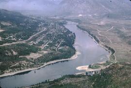
Aerial shot of Castlegar, BC
Aerial view of a Cariboo ranch along the Chilcotin River
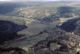
Aerial view of a forest and lake in the Cariboo
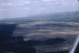
Aerial view of a forest fire at Alexis Creek
Aerial view of a frozen lake and landscape north of China Head Mountain
Aerial view of a gang ranch along the Chilcotin River
Aerial view of a gang ranch along the Chilcotin River
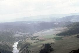
Aerial view of a ranch along the Fraser River
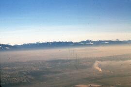
Aerial view of air pollution in the Lower Fraser Valley
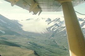
Aerial view of alpine glacier in south Spectrum Range
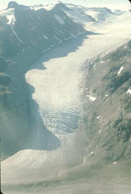
Aerial view of alpine glacier in south Spectrum Range
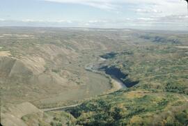
Aerial view of Beaton River slopes at Peterson's Crossing
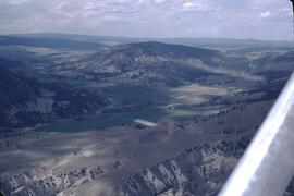
Aerial view of bighorn sheep range in Chilcotin Valley
Aerial view of Bridge Lake
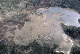
Aerial view of Cale swamp in the Chilcotin
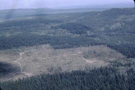
Aerial view of clearcutting at Williams Lake
Aerial view of clearcutting near Alexis Creek
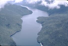
Aerial view of Clearwater Lake and surrounding forest