Item
Part of Aleza Lake Research Forest Society fonds
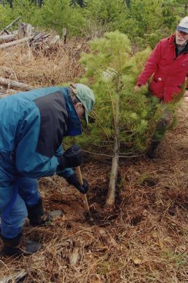
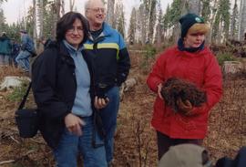

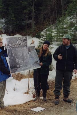
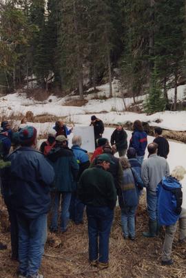
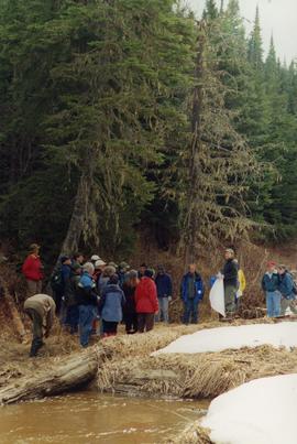

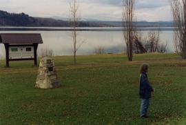
No annotation provided on slide.
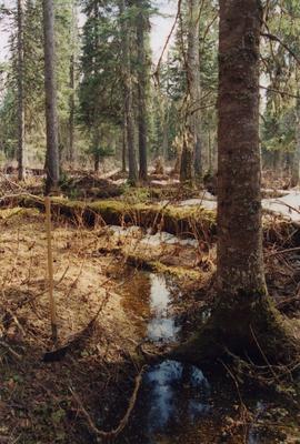
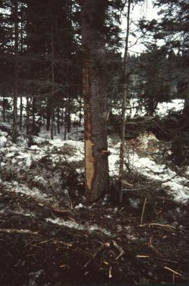
Annotation on slide: "Summit Lake, Light Abrasion".

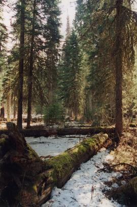
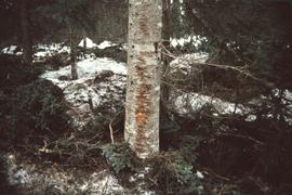
Annotation on slide: "BC[?] advance regen. releasing in logged cedar block, ICHwk3"

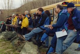
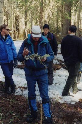
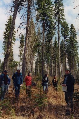
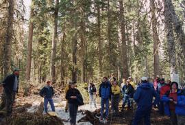
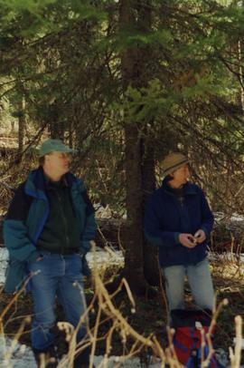
No annotation on slide.

Map is a photocopy reproduction of the "Aleza Lake Experiment Forest" map that was included in the appendix to the 1957 Aleza working plan.

Map is a photocopy reproduction of the Aleza Lake Experiment Forest map that was included in the appendix to the 1957 Aleza working plan.

Map is a photocopy reproduction of the Aleza Lake Experiment Forest development map that was included in the appendix to the 1957 Aleza working plan.

Map reproduction depicts major areas of the Aleza Lake Experiment Forest.

Map is a photocopy reproduction of the Aleza Lake Experiment Forest permanent plot map that was included in the appendix to the 1957 Aleza working plan.

Map is a photocopy reproduction of the Aleza Lake Experiment Forest working circle timber sale map that was included in the appendix to the 1957 Aleza working plan.

File consists of:

Slide depicts the original wooden BC Forest Service sign for the Aleza Lake Forest Experiment Station.

Map is a mylar reproduction of an Aleza Lake Forest Reserve map.

Item is a small-scale reproduction of a BC Forest Service Aleza Lake Research Forest map.

Map is an uncontrolled mosaic of aerial photography of the Aleza Lake Research Forest, with a July 1955 date of the air photography. Duplicate exists.

Map is an uncontrolled mosaic of aerial photography of the Aleza Lake Research Forest, with a July 1990 date of the air photography.

Map reproduction of the Aleza Lake Research Forest depicts timber sale areas, forest cover, and other details.

Map depicts historical timber sales areas and permanent sample plots (PSPs) at the Aleza Lake Research Forest. This map may be a guide (or otherwise related) to maps 2006.18.5.43-59.

Mylar map depicts the area encompassed by the Aleza Lake Research Forest.

Mylar map is a plot map of a research plot at the Aleza Lake Research Forest. Provides date the plot was established, the harvest history, the silviculture history, remeasurement history, and information about individual trees.

Item is a hand-drawn map of a plot in the Aleza Lake Research Forest. Individual trees are marked and numbered.