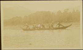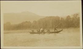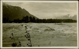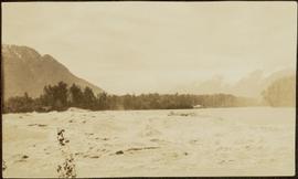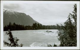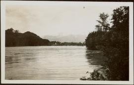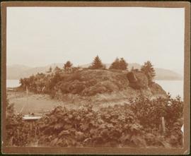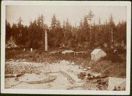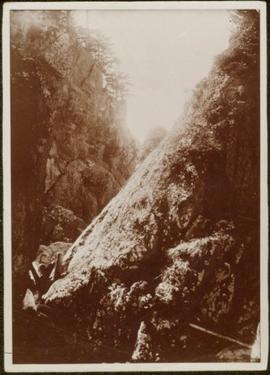
2009.7.1.100
·
Item
·
[ca. 1876 - ca. 1920]
Parte de Archdeacon W. H. Collison fonds
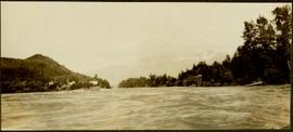
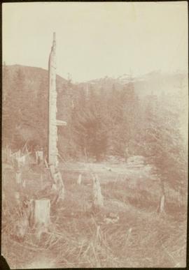
Photograph depicts narrow valley between steep cliffs.
Handwritten annotation on verso reads: "on left Vertical side of old Indian fort at Nagas W. Coast Q.C.I".