2009.7.4.11
·
Item
·
April 1895
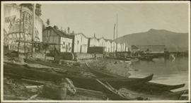
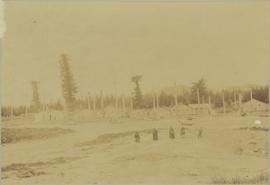
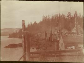
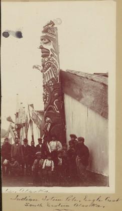
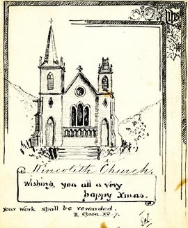
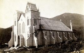
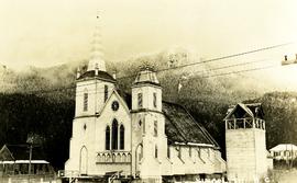
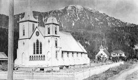
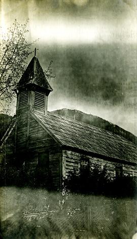
Part of Archdeacon W. H. Collison fonds
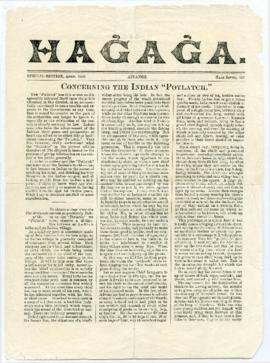
Newspaper consists of the recto and verso of 2 pages (p. 1-4). It was published in Aiyansh on the Nass River in British Columbia in April 1895 and presents a missionary's perspective of regional First Nations traditions and current affairs of the day.