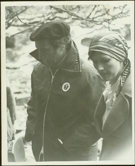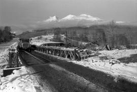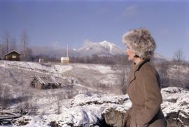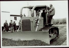
2009.6.1.116
·
Item
·
3 January 1975
Parte de The Honourable Iona Campagnolo fonds
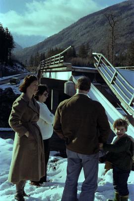
Four unidentified men look on, and portable buildings can be seen in background.
Handwritten annotation on verso reads: “Fairview Opening, Prince Rupert, 1/3/75”.