Map depicts the Gulf of Alaska, Pacific Ocean, Chicagof Island, Baranof Island, Alaskan Boarder, Yukon Territory Boarder, Telegraph Creek, Dease Lake and "Mount Brook" along the Graham Inlet.
Rock pile, unknown building, and hills can be seen in background.
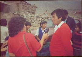
Photograph is one of 11 images taken during a World Health Organization (WHO) trip, Human Rights of Women and Children, Peru, 1990. Possibly affiliated with World Council of Churches, International Ecumenical Delegation to Lima, Peru, 14-25 October 1990. See also items 2009.6.1.505 - 2009.6.1.515.
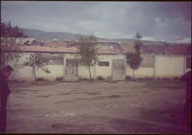
Trees in foreground, hills in background. Unidentified man stands on far left.
Photograph is one of 11 images taken during a World Health Organization (WHO) trip, Human Rights of Women and Children, Peru, 1990. Possibly affiliated with World Council of Churches, International Ecumenical Delegation to Lima, Peru, 14-25 October 1990. See also items 2009.6.1.505 - 2009.6.1.515.
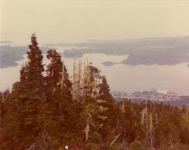
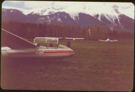
Photograph depicts a westward view from the terminal building at the Rainbow Lake Ski Club.
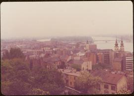
Photograph taken during European Sports Tour with Team Canada. See also item 2009.6.1.241 for image featuring similar content.
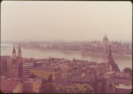
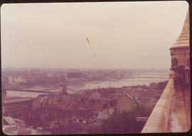
Handwritten annotation on verso reads: "Budapest". See also item 2009.6.1.238 for image featuring similar content. Photograph taken during European Sports Tour with Team Canada.
Photograph taken during European Sports Tour with Team Canada.
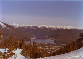
Photograph depicts the view to the north from the terminal building at the Rainbow Lake Ski Club.
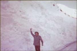
Woman stands on road, arm raised to show scale of snowbank in background.
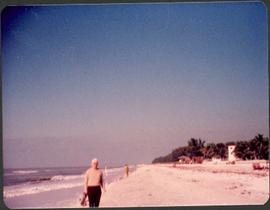
Buildings can be seen in right background in front of trees, ocean on left.
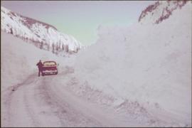
Man stands beside pickup truck on highway, hills in background.
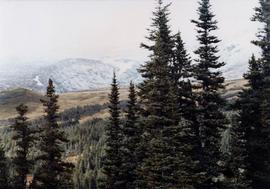
Trees on mountain base visible in background.
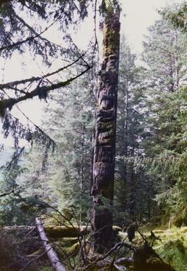
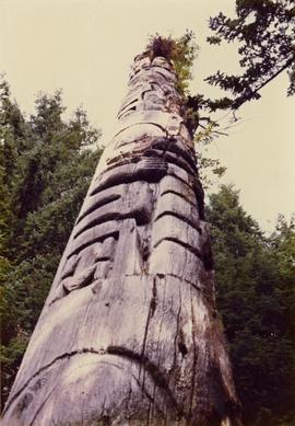
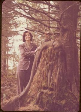
Photograph depicts a totem pole in a British Columbia rainforest, possibly on Haida Gwaii.
Photograph depicts a totem pole in a British Columbia rainforest, possibly on Haida Gwaii.
Map depicts the topography around the township of Terrace, British Columbia. The Skeena River is noted, as well as the Coast Mountains and the Kitimat Ranges.
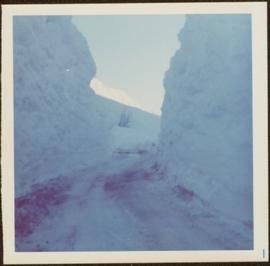
Snow on either side of highway stands at extreme height.
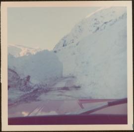
Photograph taken from interior of vehicle, dashboard visible in foreground. Snow on either side of highway stands at extreme height.
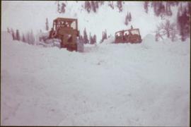
Photograph depicts snowy area.
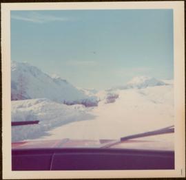
Photograph taken from interior of vehicle, dashboard visible in foreground. Mountains and forest visible in background.
Forest and mountain visible in background.
Map depicts Chilkoot Inlet, Port Chilkoot, Taiya Inlet, Skagway, Tagish Lake, Golden Gate, and Graham Lake.
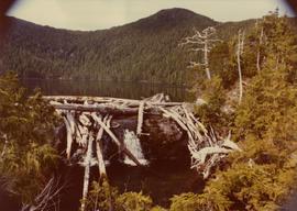
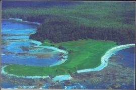
Photograph depicts the proposed site for a hydro power project on Klemtu Lake with rock sill outlet to creek.
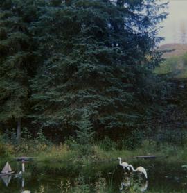
Photograph depicts a pond with pink flamingos and a model boat that is located in Driftwood Canyon near Smithers.
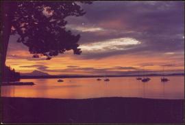
Handwritten annotation on verso reads: “Sunset at North Cove Thetis Island Adam Hunter”.
Handwritten annotations on verso read: “Lawn Pool, Memorial, West Coast, VI, Summer ’06,” and “Sept. 15, 2006”.
An 'X' is marked in ink on forest in centre.
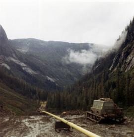
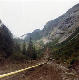
Photograph depicts pipeline construction for the Pacific Northern Gas pipeline from Summit Lake to Kitimat.
Photograph depicts a construction site for the Pacific Northern Gas pipeline from Summit Lake to Kitimat.
Photograph depicts the view to the northwest from the site of the terminal building at the Rainbow Lake Ski Club.
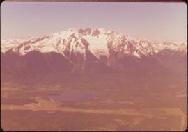
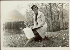
Photograph depicts a landscape scene in northern British Columbia in an unknown location.
Handwritten annotation on verso reads: “with Peter Jones".
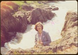
Handwritten annotation on verso reads: “Iona in Queen Charlotte City, August 1977”.
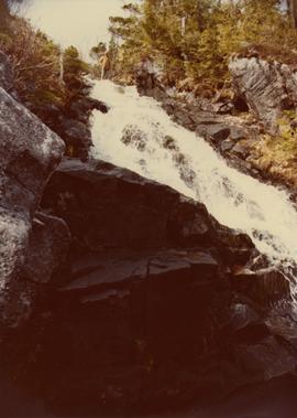
White rapids visible below.
Handwritten annotation on verso reads: “summer tour 77, Morricetown Canyon in Skeena”.
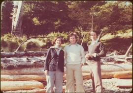
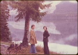
The pair stands beside trees in foreground, opposite shore visible in background.
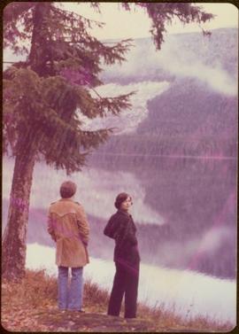
Handwritten annotation on verso reads: “with Peter Jones, 1977”.
The pair stands beside trees in foreground, opposite shore visible in background.
Handwritten annotation on verso reads: “on Highway 37”.
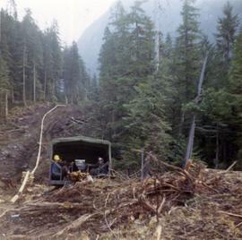
Photograph depicts workers sitting in the back of a truck at the construction site for the Pacific Northern Gas pipeline from Summit Lake to Kitimat.
Photograph depicts two men beside the creek below the lake outlet at the proposed site for the hydro power project on Klemtu Lake.
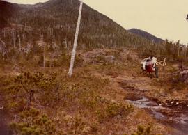
Photograph depicts pipeline construction workers for the Pacific Northern Gas pipeline from Summit Lake to Kitimat with a helicopter on the north end of Prudhomme Lake.
Photograph depicts a man with a helicopter at the location of the proposed powerhouse on Klemtu Lake.
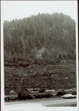
Photograph depicts a forested mountain, the bottom half of which has been logged and terraced; beneath the mountain is a railroad track and parked vehickes including a schoolbus and two dumptrucks.
Handwritten annotation on verso reads: “Fairview Sodturning, Prince Rupert, 1/3/75”.
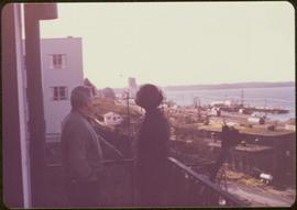
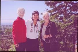
Trees and town can be seen from balcony, and mountains are visible across water in background. Handwritten annotation on verso reads: “Aug 2006, Her Honor, Dorothy Grant & Carole Sabiston”.
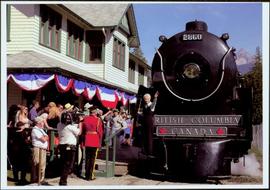
Front of engine reads "BRITISH COLUMBIA, CANADA", "2860". Decorated building stands in left background. A man with large video camera and an RCMP officer in a red serge can be seen standing in crowd. Mountain peak visible in distance.
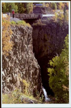
The Lieutenant Governor stands next to bridge and highway at top of image, cliffs and white water rapids visible below.
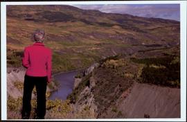
Handwritten notation affixed to verso reads: “Stikine Canyon Sept 2006”.
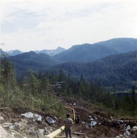
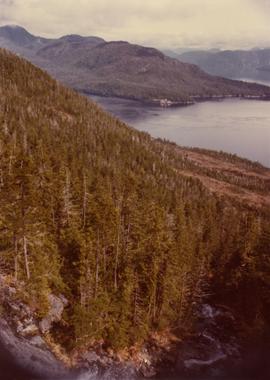
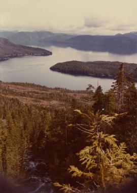
Photograph depicts a view from the Klemtu Lake outlet toward the sea with a cleared site for the proposed powerhouse.
Photograph depicts a view from the Klemtu Lake outlet toward the sea with a cleared site for the proposed powerhouse.
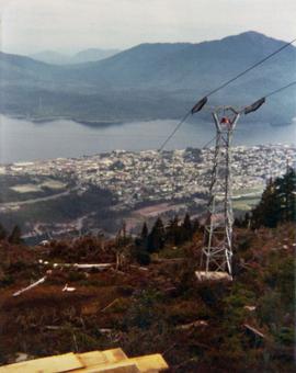
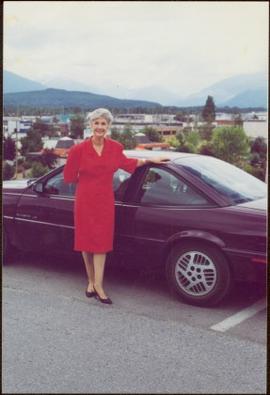
Mountains visible behind unknown town in background.
Item is one of nine photographs accompanying a greeting card from Agnes Hauglak, Addie Milewski’s sister, reading: “I though you might want these photos. I had to go and send every one their family things. Thank you for being kind to my sister Addie, Agnes M Hauglak”; see also items 2009.6.1.569 - 2009.6.1.577.
