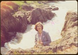
2009.6.1.172
·
Item
·
1977
Part of The Honourable Iona Campagnolo fonds
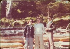
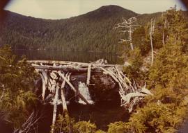
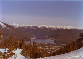
White rapids visible below.
Handwritten annotation on verso reads: “summer tour 77, Morricetown Canyon in Skeena”.