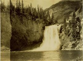
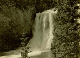
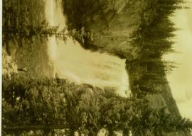
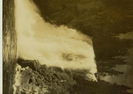
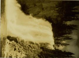
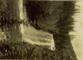
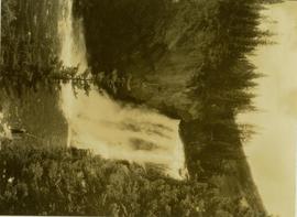
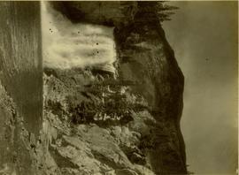
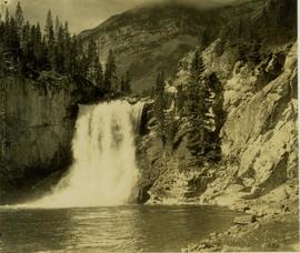
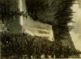
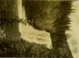
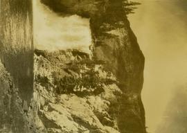
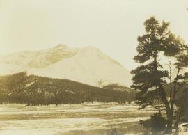
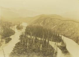
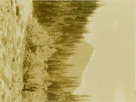
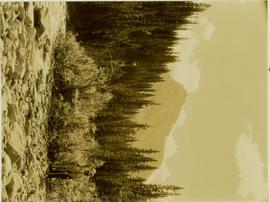
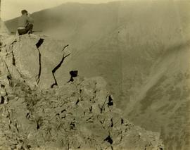
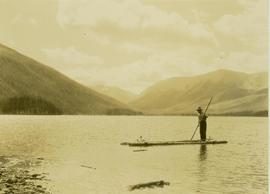
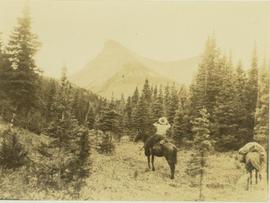
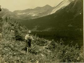
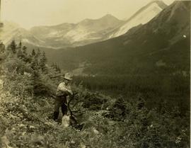
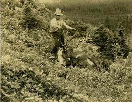
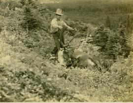
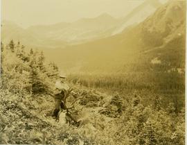
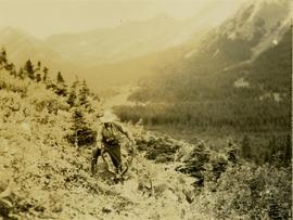
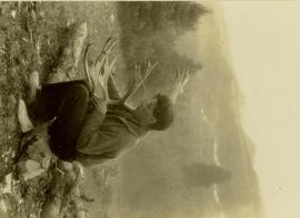
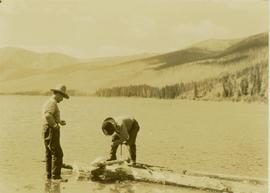
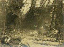
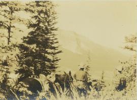
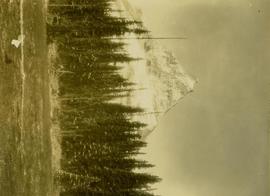
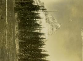
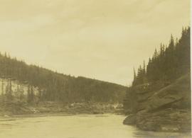
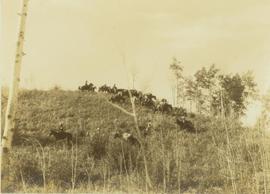
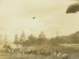
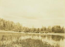
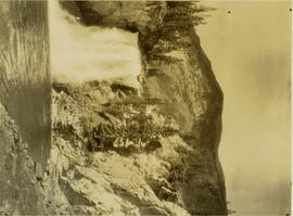
Also identified as lower falls, Red Deer River.
Location also identified as lower falls, Red Deer River
Location also known as lower falls on Red Deer River.
Photograph depicts a plateau leading into forested foothills and a snow-covered mountain range.
Photograph depicts Pine River winding between forested hillsides. Several islands covered with trees are located in the middle of Pine River. The river leads to Kinuseo Falls also known as Kinoosao Falls.
Photograph depicts a pile of cut evergreen trees leaning on one another within a forested landscape.
Muinok Lake is also known as Belcourt Lake.
Photograph depicts Pete Callao on horseback looking through binoculars in order to determine his course through a forested valley to Pine River. In the background the peak of a mountain is visible.
Photograph depicts Pete Callao using an axe to cut a trail through an area covered with windfall.
Muinok Lake is also known as Belcourt Lake.
Photograph depicts Pete Callao (left) and Frank Dewing (right) napping under a spruce tree lean-to in a forest clearing.
Photograph depicts two men (possibly Pete Callao and Carrol Paul) standing with two saddled horses. In the background a mountain vista is visible.
Photograph depicts the Peace River Canyon with the Peace River in the foreground and rocky, tree-lined cliffs flanking the river. In the background a forested mountain base is visible.
Photograph depicts the Peace River curving around the tree-covered cliffs at the Peace River Canyon.
Photograph depicts the Peace River leading up to a strait called the "Gate" at Lynx Creek. The narrow strait is flanked by a forested, rocky shoreline.
Photograph depicts a pack outfit traversing down a grassy slope beside a cluster of trees.
Photograph depicts a pack horse outfit riding down a grassy slope with a sparse tree line in the foreground.
Photograph depicts a pack train of horses and several men on horseback riding along the east end of Moberly Lake.
Photograph depicts a pack team of horses crossing the Moberly River with reeds in the foreground and a forested shoreline in the background.